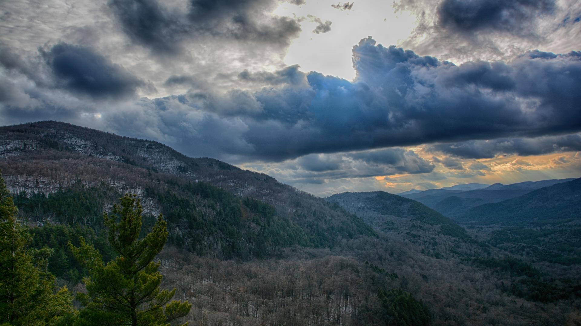
Last spring I missed out on this little escapade, but when my buddy Jim mentioned doing it again, I couldn’t say no. Starting out the day in Ticonderoga I didn’t have too far to go to get to the meet point, which was Jabe Pond. Traveling down Route 9N South through Hague and into Silver Bay, I was there in a flash. Jimbo was also there on time, but we were missing a couple other hiking partners that were supposed to be there. We waited around for 30-minutes in hopes that they would show. After 30-minutes we left one car at Jabe Pond Road and drove the extra to the other side near the Deer Leap Trailhead, where another hiking partner was going to meet us. Upon arrival, everyone was there; no one could find the Jabe Pond Road with success so they just met us at the beginning, it would be a tight ride back with 5-smelly hikers and a dog in a Subaru, but I am sure we would manage.
After a bit of gear shuffling we started our hike. From the road, we started a bit of a descent to the base of Bloomer Mountain where the mountain looked down upon us like a bully trying to get our lunch money. We would have none of that and started to go right up one side of the peak and eventually down the other. First, we would have a steep scramble up the flanks of this little giant as we headed toward the slightly lower summit. Rocky outcroppings and loose rocks slowed the pace down a bit, and without a doubt, the slightly larger than normal breakfast possible had a hand in my early morning short comings.
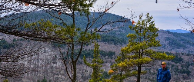
We were now part of and immersed in nature, but the laborious climb required a short break on the open ledge. We were looking out over the valley at the Tongue Range and even further beyond was that of Black and Buck Mountains. We had about a half-mile remaining to top out on the summit of Bloomer Mountain and a lovely open ridge would deliver us there. While the summit itself was wooded, there was a slight view from the sharp drop that the mountain presents on its southern side.
In our leafless November woods, we started out descent toward Catamount Mountain. Catamount would be the big peak of the day and looking at the map, we had some work ahead of us. There was a sizable little knob between us and Catamount that we didn’t really want to climb unless it was necessary, but as many of you may know nature can be a beast with a serious backhand from time-to-time. As we continued our violent exercise we call hiking in the wild, we found ourselves nearly peaking this small knob, only because the lay of the land softly persuaded us to do so.
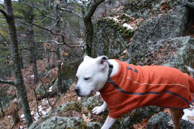
The ever-growing crunch of snow under our feet told us that the slightly higher elevation was more snow prone that the others. We passed through a scenic beaver flow, dry now from the drought of 2016, but still yet, a creek running through it. We meandered about the steep slopes heading toward what I think might have been the most aggressive contours of the day. A southern ridge was the target and I had my sights dialed in. The ridge gained us some serious elevation quickly and now we had a gentle land bridge to follow.
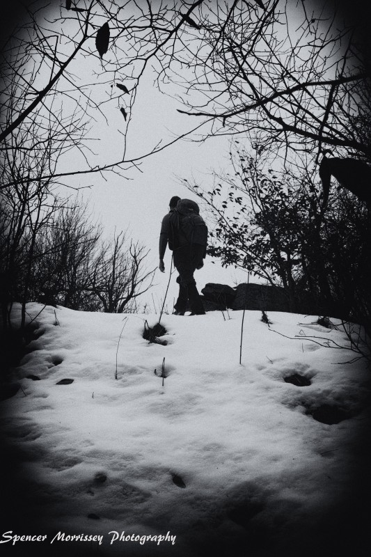
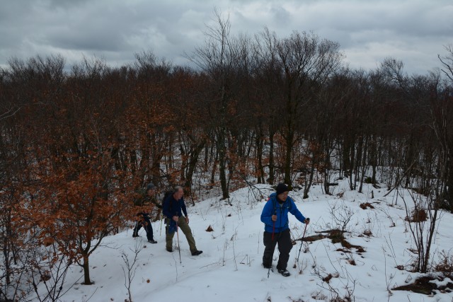
The land bridge was so gentle we were beside ourselves, I think I must have zoned out at one point as I came part way into a conversation about something so out in left-field that only this hiking crew could be part of. The summit of Catamount was a simple rocky knob atop a rather large peak, towering over everything else around it. The views were decent, but the neatest of all was looking down on the verges of Middle Mountain, our final peak of the day, rounding out a triple.
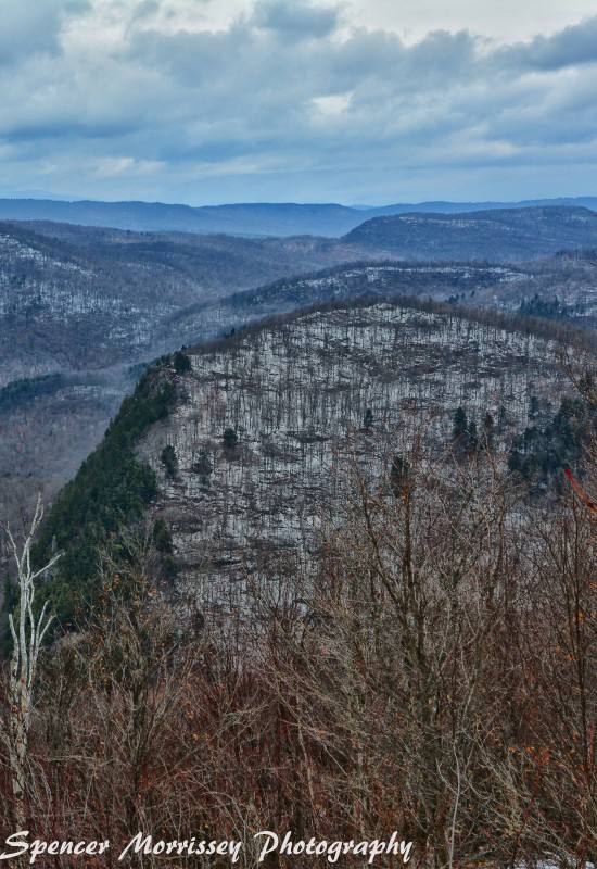
Middle Mountain looks as though the axe of the wood cutting God came down and chopped off the entire side. The greens of the hemlock now covered the disturbance and hardwoods roofed the rest. The descent was an interesting one as the features of the mountain did not make it easy. Cliffs stopped us in our tracks on two occasions requiring us to muster the energy to climb back up and circumnavigate them.
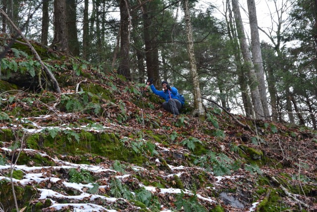
With the help of our trusty GPS we made short work of the rolling terrain and took a bearing right at the hacked off shoulder of Middle. The hemlock trees welcomed us to an open forest and rock sills rewarded us even more with viewing platforms. Sun beams lit up the valley below, but we were still being battled by the brisk northwest winds. We pecked at the cliffs like kids in a toy store and our cameras were smoking from rapid shutter use. View after view were presented to us, we took advantage of all of them, not letting one slip away unappreciated. The final view atop a grassy, rock protruded slope make us feel as though we may have been as close to heaven as ever before.
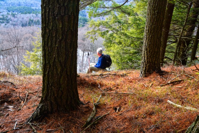
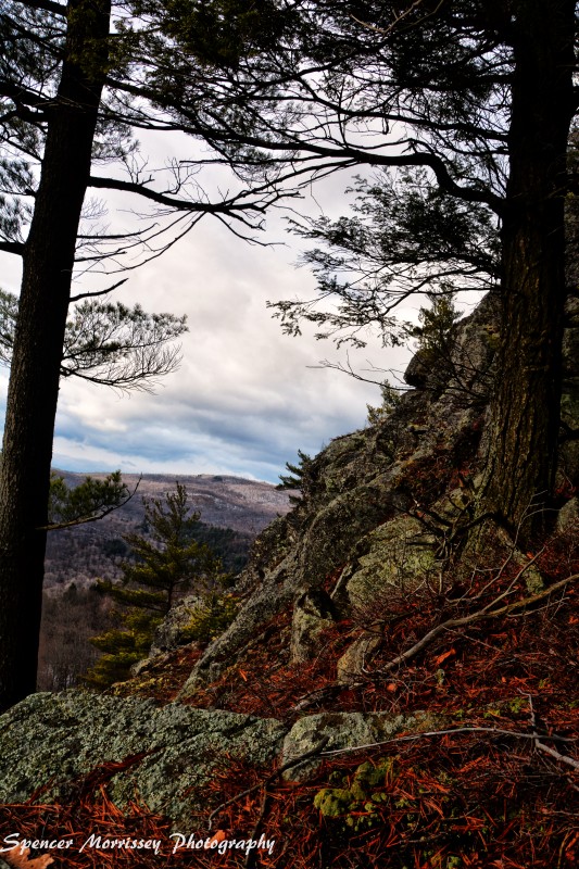
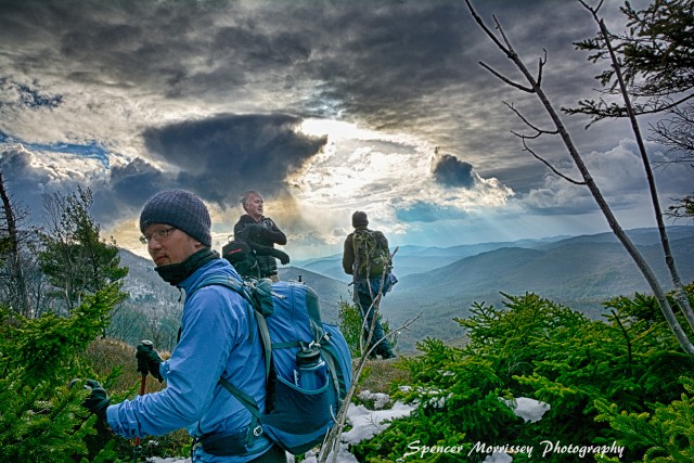
The summit was a stone throw away, amid the trees. While no views welcomed us on the cairn marked apex of Middle, we were more than happy with our findings. The day was getting long in the lip and we must descend. We could see Jabe Pond, as though we could leap into it, that was our out. A trail along the shore would be welcomed after a day’s hike in the wild forest, a day’s slipping and sliding on corn snow, and a day’s hiking on unstable ground. With boots soaked from the wet snow we wasted no time getting down to the valley below. The only thing in between us and the pond was a low ridge, made up of two smaller bumps; we climbed through the cleavage to the trail beyond.
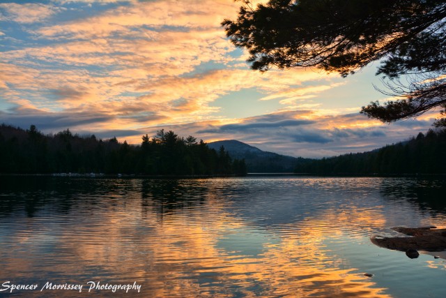
We found the trail without falter and after a few pictures of the pond we motored along as daylight was burning. The trail was not a designated one as I suspected it would be, but a white blazed path, slightly overgrown. By the time we reached the north end of the pond sunset was nearly upon us. The colors in the clouds over the pond lit up Catamount and Number 108 Mountains like beacons. We now only had a 1-mile walk along Jabe Pond Road back to the car, where we would pack in 5-backpacks, 5-adult hikers, and 1-dog. The ride around to the cars on the other side of the mountains was a cozy one, filled with conversation and talk of hot coffee. Where would we go next? What adventure would await us between the contour lines? We shall see, we shall see.

