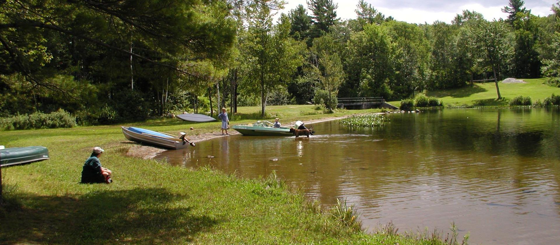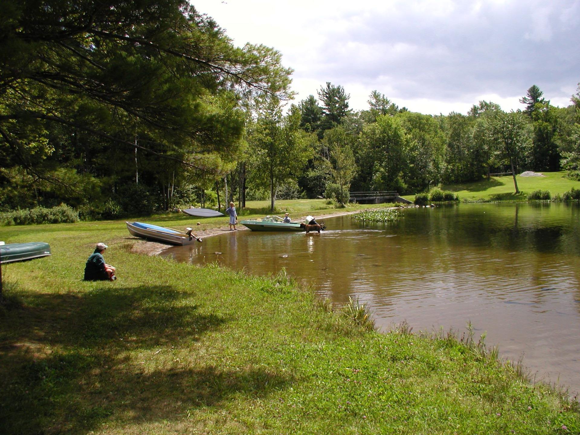
Several trails can be accessed from the shore of Putnam Pond and North Pond, including Treadway Mountain, which is a wonderful hike with outstanding views of the surrounding Pharaoh Lake Wilderness Area.
Paddling
These two ponds are connected by a set of narrows. The best launch is located near the beach which is just over a small hill from the main parking area in the campground and there is a motorboat launch which can be used.
- Pond sizes – Approximate shoreline length: Putnam Pond: 3.75 miles; North Pond: 2.5 miles
- Type of launch: Sand and grass
- Portage/carry Details: Less than 100 feet, no portage to North Pond
- Type of water: Both ponds are well sheltered and calm
Boating
Putnam Pond is accessible to motorboats. There is a narrow hard ramp located in the DEC campground.
Fishing and ice fishing
Fish for northern pike, largemouth bass, black crappie, brown bullhead, pumpkinseed and yellow perch on this tranquil pond. Popular with ice anglers. The northern section is at its best for fishing in the winter and early spring.
How to get there
From the intersection of Route 9 and Route 74 near Schroon Lake follow Route 74 toward Ticonderoga. Continue to Putts Pond Road on the right (entrance road for Putnam Pond State Campground). Drive this to the end to access the campground and the pond. A day use fee will be required.


Packages and Promotions
Valid Feb. 7
Valid Feb. 3 - Feb. 7
Super Bowl Sunday Specials at Suzie's
Suzie's
Super Bowl Sunday Specials at Suzie’s
Game day calls for big flavor, and Su
Valid Feb. 13
Valid Feb. 5 - Feb. 13
Valentine's Day at Mountain Dog Restaurant and Pub
Mountain Dog Restaurant & Pub
Valentine's Day Special Menu
The event takes place on February 14th from 4:00 pm – 8
Valid Jan. 25
Valid Jan. 19 - Jan. 25
Ti Mill Monday
Paper and Pencil
Ti Mill Monday
Dinner, drinks and music with Dan Rabideau, Monday January 26 at The Paper and Pencil. Happy hour starts at 3:00 pm, music
Valid Feb. 13
Valid Feb. 10 - Feb. 13
Valentine's Dinner at The Deer's Head
The Deer's Head Inn
Valentine's Day at The Deer's Head Inn Restaurant
Celebrate Valentine’s Day a
Valid
Valid Jan. 29 - Feb. 13
Valentine's Date Night Dinner
Paper and Pencil
Valid Feb. 7
Valid Feb. 3 - Feb. 7
Willsboro Diner's Super Bowl Specials
Willsboro Diner
Valid Feb. 11
Valid Jan. 11 - Feb. 11
Galentine's Day Sip and Shop
Vintage Reimagined
Vintage Reimagined invites you to join them as they reopen for the first night in 2026; Thursday, February 12 from 5:00-7:00 pm.
Valid Oct. 21 - Apr. 30
Valid Oct. 21 - Apr. 30
Exclusive Indoor Pickleball at The Essex Inn
Essex Inn & Restaurant
Two miles north of the Inn lies our newly-built, state-of-the art, private indoor pickleball court. “Our new court is the finest indoor pickleball
Valid Feb. 7
Valid Feb. 3 - Feb. 7
Super Bowl Specials at Taco Temptation
SUPER BOWL SPECIALS at Taco Temptation!
Valid Feb. 13
Valid Feb. 1 - Feb. 13
Burleigh's Luncheonette Valentine's Dinner
Burleigh's Luncheonette
Valentine's Dinner
Looking for a place to take your sweetheart? Check out our Valentine's Day dinner specials!
Valid Feb. 7
Valid Feb. 1 - Feb. 7
Boyea's Super Bowl 2026 Specials
Boyea's Super Bowl 2026 Specials
Boyea's Grocery & Deli is offering 5 dining specials for Super Bowl Sunday.
Valid Feb. 7
Valid Feb. 1 - Feb. 7
Super Bowl Feast at K&D Deli
K&D Deli
Super Bowl Feast
K&D Deli and Grocery are hosting a watching party for the game!
Valid Nov. 30 - Jan. 3
Valid Nov. 24 - Jan. 3
Sail Champlain in 2026
Sail Adirondacks LLC
Set Sail on a Lake Champlain Adventure in 2026!
Dreaming of a unique Lake Champlain experience?
Valid Feb. 7
Valid Feb. 4 - Feb. 7
Grover Hills Deli Super Bowl Specials
Grover Hills Deli
Super Bowl Specials
Hosting a crowd or keeping it simple?
Valid Feb. 13
Valid Feb. 5 - Feb. 13
Valentine's at Piper and Pine
Piper & Pine Florals Valentine's Day Specials
Thoughtfully designed blooms for Valentine’s Day
Valid Feb. 13
Valid Feb. 8 - Feb. 13
Valentine's Day Specials at Suzie's
Suzie's
Valentine's Day Specials
Valid Feb. 13
Valid Feb. 2 - Feb. 13
Valentine's Night at the Pleasant Valley Cafe
Pleasant Valley Café
Celebrate Valentine’s Night at The Pleasant Valley Café
Treat your special


