- Loop
- Loop
- Loop


About
Eagle Mountain Wilderness Preserve is an almost 2500-acre preserve managed as wilderness that is open to the public for hiking, cross-country skiing, birding, snowshoeing, hunting (by permission), and quiet nature observation. The property is owned and managed by Northeast Wilderness Trust.
Key takeaways
- Distance: 4.5 miles round trip
- Elevation gain: 450 feet
Hiking Benny's Trail
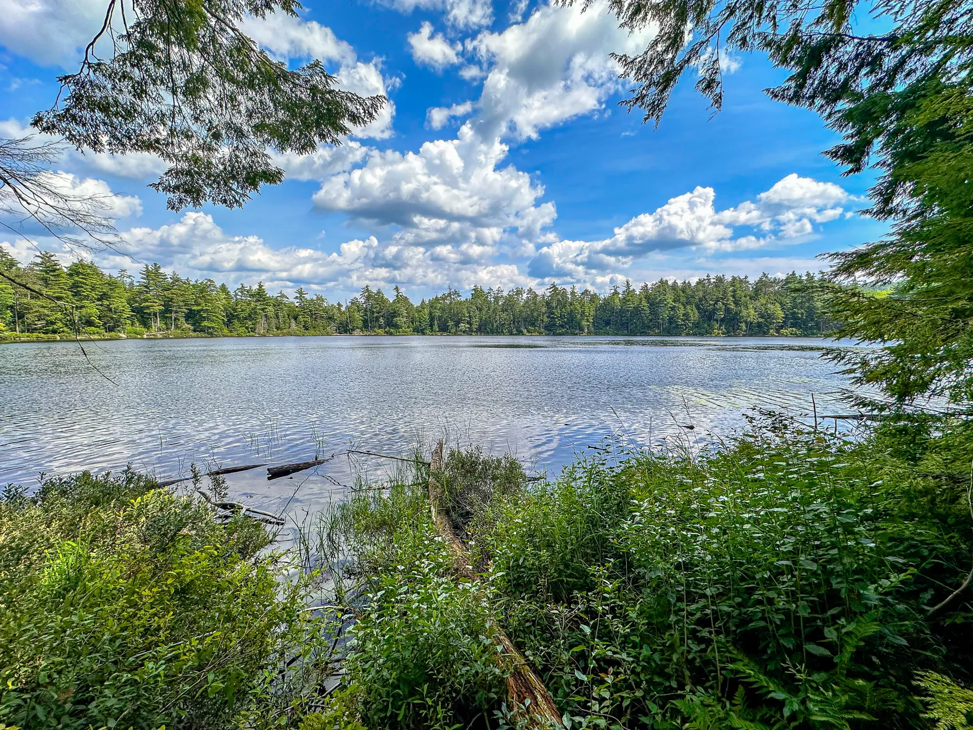
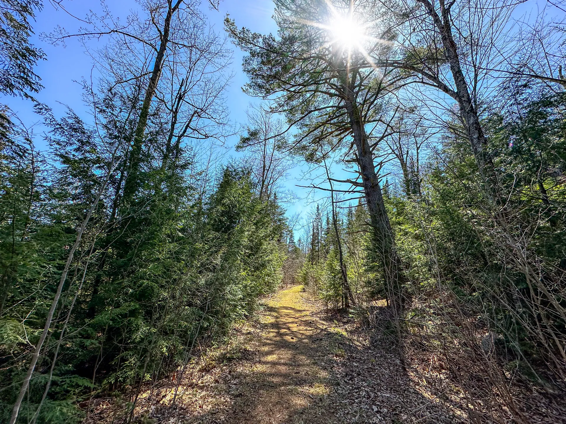
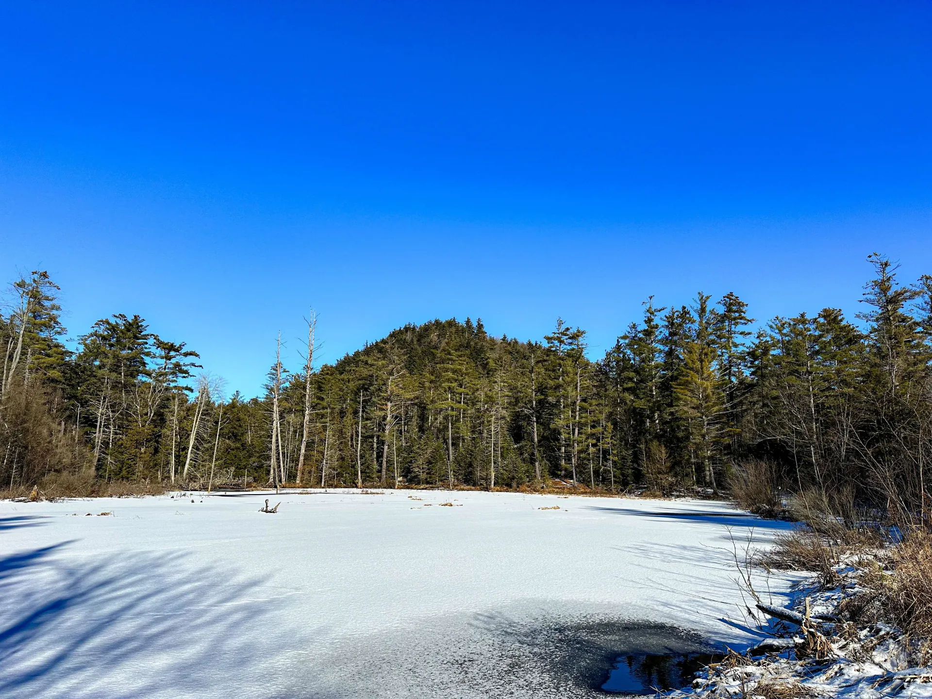
The entire preserve is open for quiet recreation, but there is one established trail through the property. Benny's Trail is a lollipop loop that gently climbs from the trailhead to a high point at an intersection with the loop. The trail then loops around Clear Pond, a beautiful and peaceful backcountry pond.
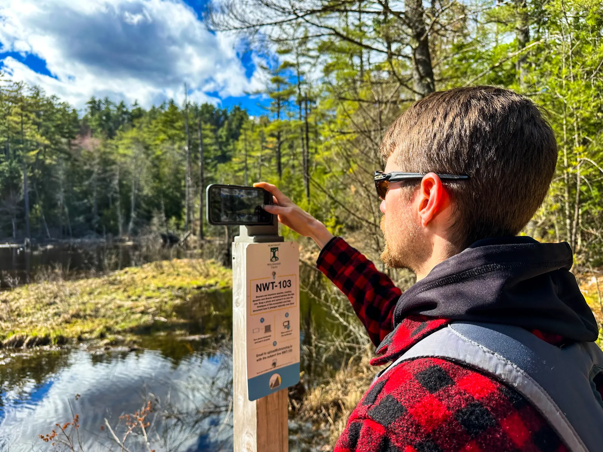
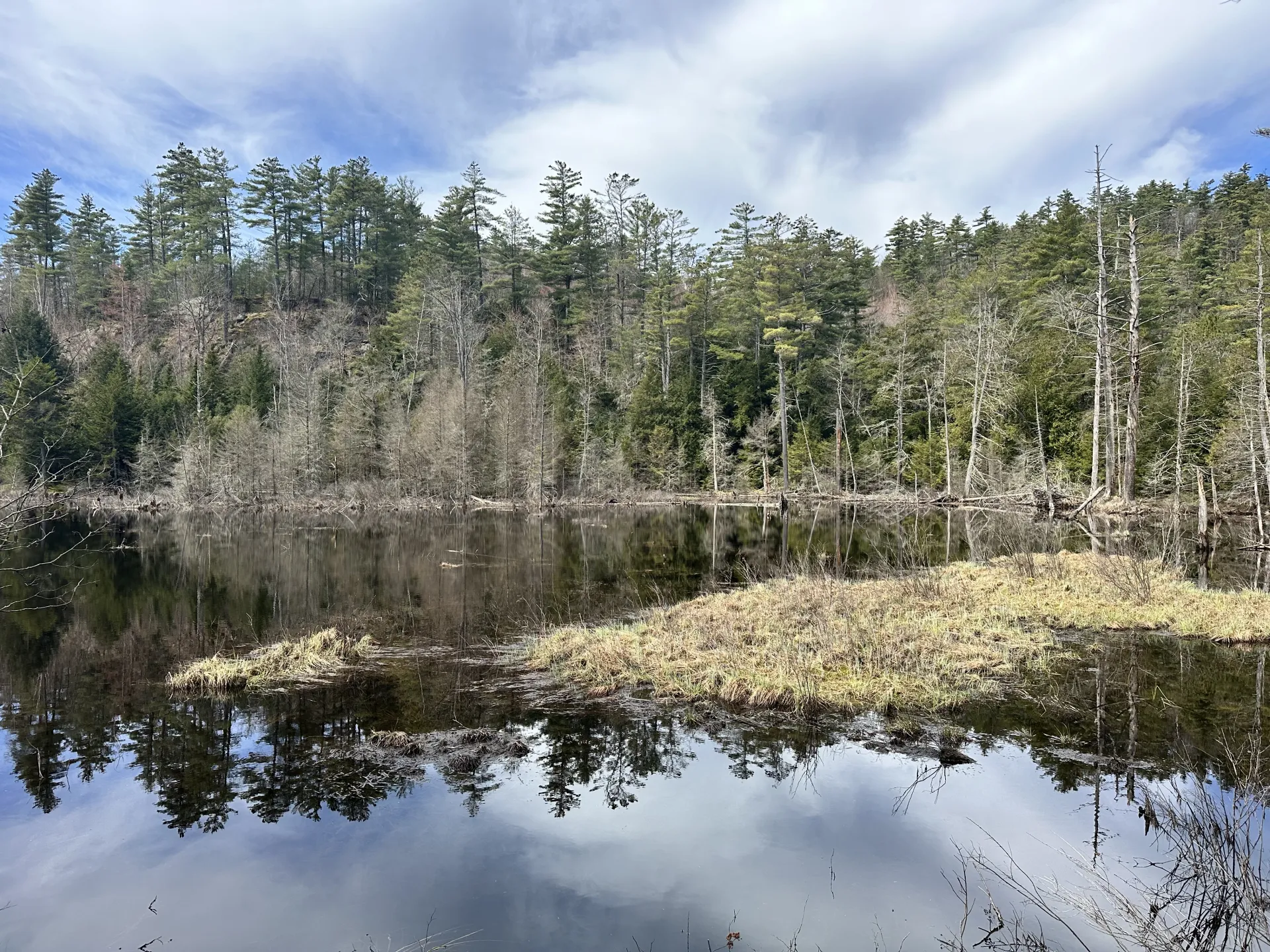
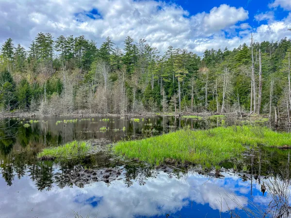
Half a mile from the parking area, the trail occasionally becomes flooded due to high water and beaver activity. Here, a Photo Point was installed, where visitors can use a stationary stand to snap cell phone photos of the wetland. Photos are then uploaded to a website where the “time lapse” can be viewed.
In the winter
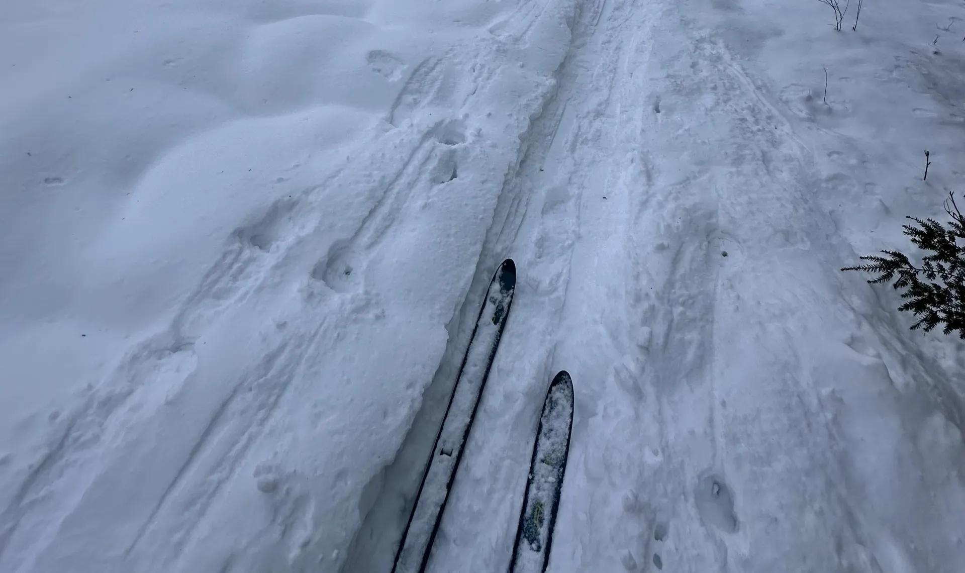
This is an excellent adventure on snowshoes. Be prepared for all winter conditions.
Cross-country skiing
Popular with many cross-country skiers, this trail is intermediate. There are several longer downhills along the way.
Birding
With many wetlands and diverse forests, Eagle Mountain Wilderness Preserve is an excellent place to go birding.
Hunting
Hunting of abundant prey species is permitted with permission. A permit can be obtained online from the Northeast Wilderness Trust website or by calling the main office at 802-224-1000.
Please note that fishing is not permitted here.
How to get there
The trailhead is less than 15-miles from downtown Keeseville. Take Route 9 south for 10 miles, then turn right onto Trout Pond Road. In just over 3 miles, a parking area will be on your left. Benny’s Trail begins here.
Emergency Information
Related Content
Come explore the Eagle Mountain Wilderness Preserve - a wild place with a wildly cool trail!
Lake Champlain Region

Champ's Local Tips
Skip the I-87 traffic — take the ferry between Charlotte, VT and Essex, NY. Twenty minutes, and the view beats the highway.