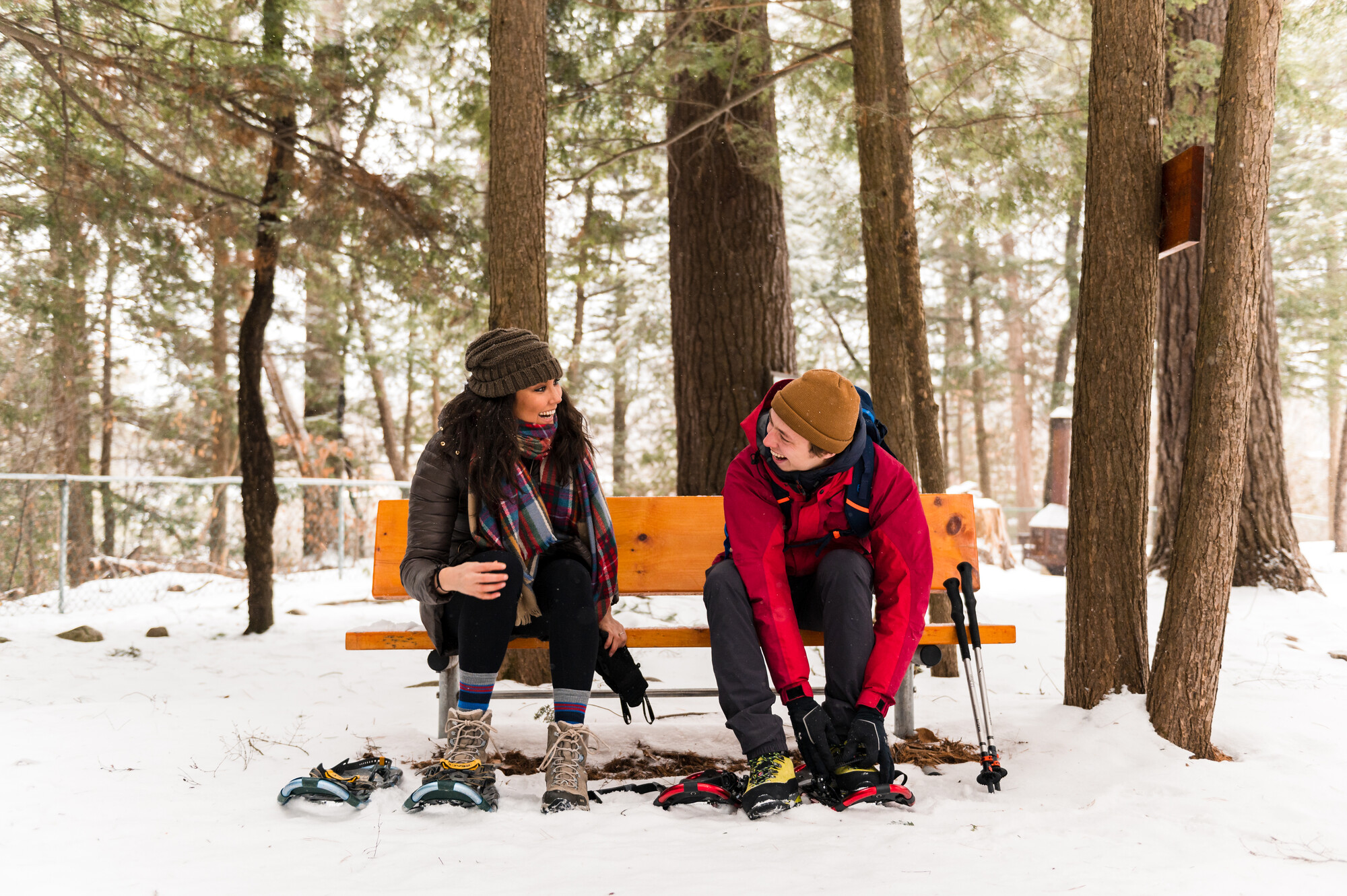
Grab your gear and lets hit the trails!
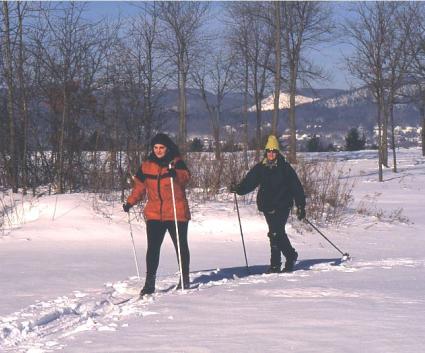
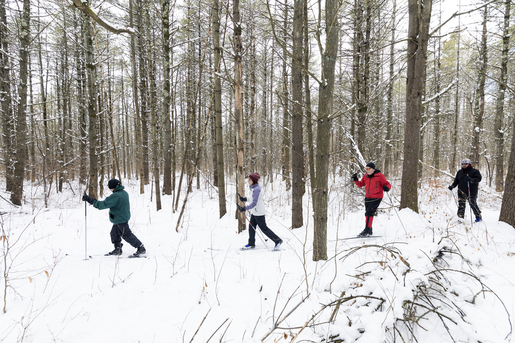
It’s a bright morning after a heavy overnight snow. A great day to snowshoe or cross-country ski. But today, you want to ski through woodlands and fields on low hills instead of endless slogs on forested mountains or “highway” skiing on groomed courses. Plus, you want to ski for a couple hours and not all day. Hopefully be the first, and break trail! But, where to go?
You see your Champlain Area Trails (CATS) map and that’s the answer. You’ve hiked CATS trails and know they can meet your needs—they vary from less than a mile to many miles in length, from gentle routes on flatlands to wide-ranging treks through hills, farms and the “Low Peaks” overlooking Lake Champlain.
CATS trails have an inspiring history. As the last part added to the Adirondack Park, the Champlain Valley has little public land and until CATS began in 2009, it had few hiking trails. That’s when CATS embarked on a new path to making trails—it reached out to landowners to have trails through revocable agreements. As a land trust, CATS also conserved properties and made permanent trails.
To date, CATS has created over 60 miles of trails with the goals of linking communities, connecting people with nature, and promoting economic vitality. CATS hosts town-to-town Grand Hikes and “challenge hikes” which people complete to get commemorative patches.
Every year, CATS updates and publishes comprehensive maps of trails in the Champlain Valley. You reach for your map and see you’ve got two of them—one is of the northern valley—that’s Clinton County. And the other is the central valley—Essex County. You open that one and check out the legend showing trails good for skiing.
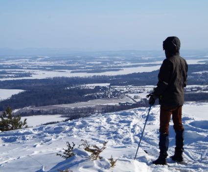
Starting in the north, you see the Poke-O-Moonshine Observer’s Trail, a 5-mile round-trip that’s a challenging ski through forests on the popular state-owned mountain. It mostly follows a fairly wide path so you can usually slow down if it gets too steep.

In Willsboro, you see a number of trails good for skiing—Riverside, High Point, and Ancient Oak are a few but your eye goes to Sophie’s Lair, which offers up to seven miles of skiing on a network of trails with easy ups and downs through woodlands and by fields. That would be a good one because at various points, you can choose to go back to the trailhead and then to Willsboro diner for apres ski refreshments.
Essex has a whole network of trails. You notice the Bobcat Trail on Walker Road west of Whallonsburg. You hiked there last summer and have nice memories of a bird-filled meadow, diverse woods, and a series of beaver ponds. At the southern end, there’s a nice straight downhill leading out into a field that would be fun to ski. And then, Westport and all its trails. State-owned Split Rock Wild Forest offers miles of trails with some going down to the lake and others that look across it to Vermont. DaCy Meadow, Viall’s Crossing, and Wildway Passage Trails all look good and because you may invite a friend who has only skied once, you focus on Hidden Quarry Trail. Almost a mile long, it goes through easy fields and friendly forests and then by an old quarry that supplied stones for the nearby Route 22/9N.

Coot Hill has a great view but is more difficult. Penfield Pond, in Crown Point, offers a fun and fairly easy ski along the lake near the historic village. And then Ticonderoga and the miles of diverse trails through the open forests of Pharoah Lake Wilderness or in town along the LaChute River. So, time to get out and explore new trails. Knowing they aren’t crowded, you gather your stuff, put it in the car and smile knowing you’ll soon be breaking trail on a snowy Champlain Area Trail.
Champlain Area Trails is a nonprofit organization that saves land, makes trails, connects people with nature, and promotes the area. Information on CATS events, activities, and trails is available at the CATS website and by following CATS on Facebook, Twitter, and Instagram. To get free copies of the CATS maps, call 518-962-2287, email info@champlainareatrails, or go to its website.