Abundance of recreation and nature
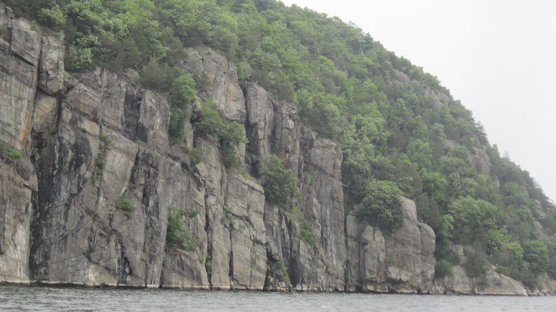
Situated directly on the Adirondack Coast, on Lake Shore Road about half way between the hamlets of Westport and Essex is an unusual site - a remarkable playground for any outdoor enthusiast. There is a plethora of outdoor experiences and recreational opportunities to be had all in one place, rather a one-stop “shopping mall” for nature lovers. This site has everything: history, water, views, cliffs, forest, trails, campsites, and extraordinary wildlife. It covers 3700 acres! The Split Rock Wild Forest is New York State’s largest protected forest on Lake Champlain and proudly displays one of the most dramatic Lake Champlain shorelines, stretching for 4 miles. The entire parcel is protected by the New York State Department of Environmental Conservation.
Adjacent vacation rentals
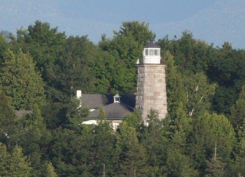
As you might guess, the mountain’s name comes from an unusual fractured rock formation attached to the shoreline on its northern end, a split rock. This part of the mountain is on private land, but easily appreciated from the water. Nearby is the Split Rock lighthouse, first built in 1838 to guide navigation on the lake. The lighthouse is on private land as well. However, the lighthouse’s attached dwelling is available as a vacation rental and the property also offers The Split Rock Farmhouse nearby. Both rentals sleep 8.
Mountain history
Historically, Split Rock has been a dividing line. For the Native Americans it “split” the Algonquin territory from the Iroquois territory.The 1713 Treaties of Utrecht involved a good share of Western Europe interests in our region. Those treaties acknowledged this specific location as a boundary between New France and New England. The lake is only about a mile wide here, an easily recognizable division point, and is known as the Lake Champlain Narrows.
Pick up a copy of The Narrows, An Interpretive Guide for Boaters at the Westport Marina. From the mid-1800s to the early 1900s a variety of mining was conducted on this mountain. Iron ore, graphite and granite were the minerals sought after. No venture lasted very long. Perhaps difficulties getting the minerals to the barges waiting at shore, at times with resulting tragedy, proved too discouraging. Remains of structures, artifacts and archaeological finds of these activities have been discovered here.
Straight up!
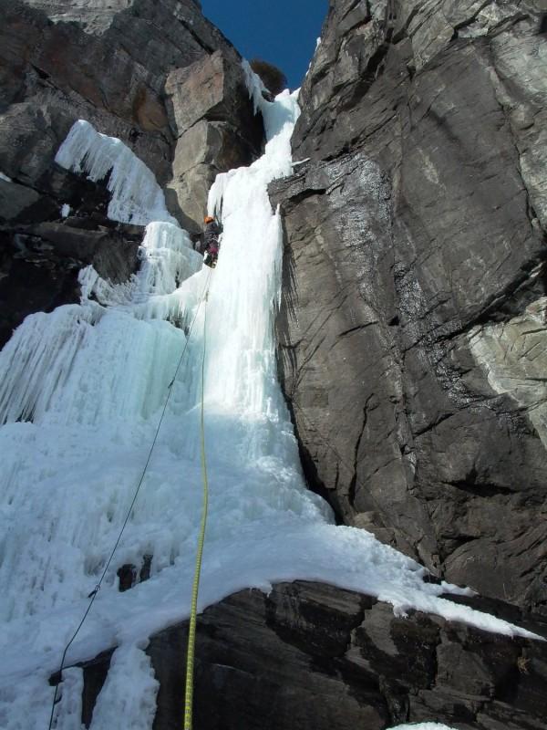
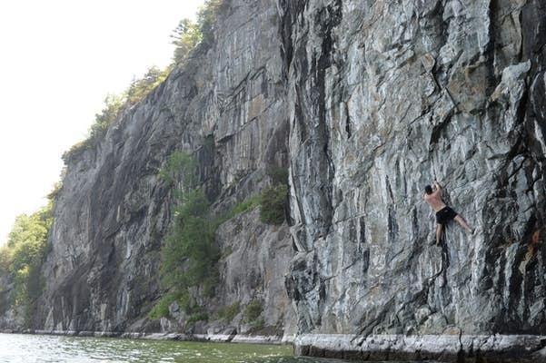
The mountain has an elevation of only about 1017 feet, but its rock face (lakeside through the stretch known as the Palisades) radically drops about 200 feet or so, to the surface of the water. From there it plunges beneath the surface anywhere from 40 to 150 feet. The Palisades have some of the steepest and most picturesque shore line of the entire lake. They also offer some incredible challenges for rock and ice climbers. Specific climbing routes have names among experienced climbers: Drop, Swim or Die, Lake Champlain Monster and For The Birds. These names are a bit intimidating and tell me these routes would probably not be good choices for the inexperienced. Adventurous ice climbers often approach these climbs on skis, across the frozen water in the winter from Vermont. In the warmer months, rock climbers approach by boat from the lake, or first rappel down from the top.
Birders should take note that these rock faces are also home to peregrine falcons, osprey, bald eagles, turkey vultures, and swallows.
Trails for everyone
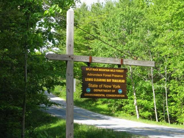
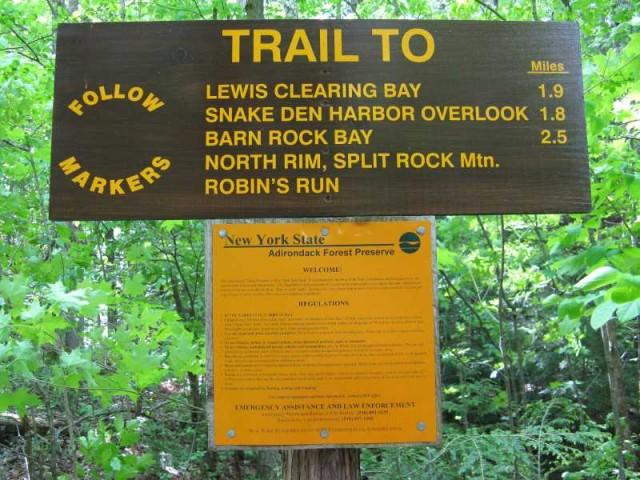
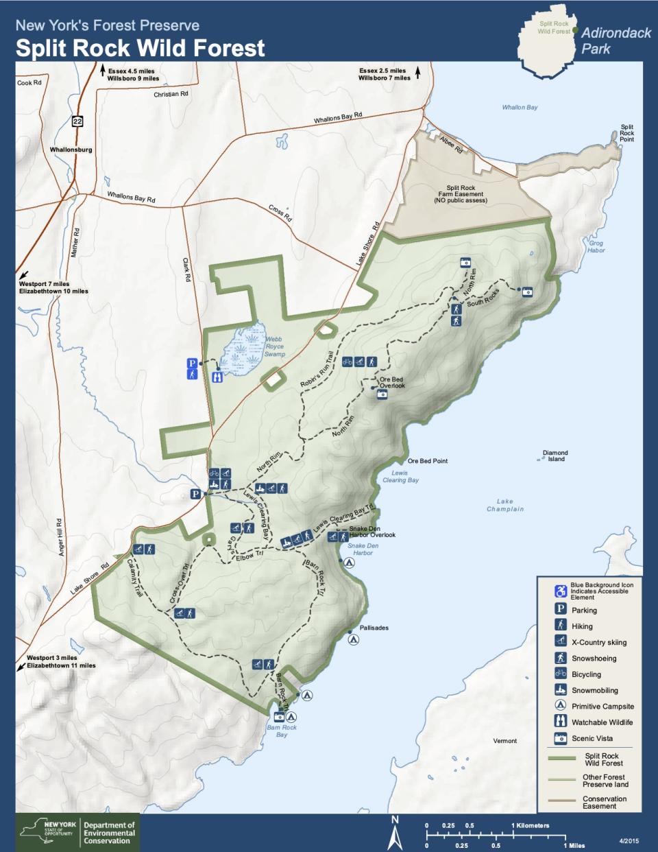
There are over 11 miles of trails throughout this forest preserve. Most are described as easy or moderate, none are in the difficult category. Some trails are loops, some access hidden bays and coves, some spurs reveal phenomenal views of Vermont, Lake Champlain and the Adirondack Mountains. Two trails access the lakeshore. Find the main trailhead on Lake Shore Road 5.8 miles south of Essex, and 4.7 miles north of Westport. Hikers, skiers and snow-shoers are welcome on all the trails. Mountain bikes can use approximately 5 miles of the trails, mainly the North Rim Trail and the Robin’s Run Loop. Snowmobilers are welcome on the Lewis Clearing Bay Clearing Trail which connects the Lewis Clearing Bay parking lot with the bay of the same name on the lake. This trail is also used by anglers who want to access this area to ice fish in the winter. Fisherman boast of great salmon, lake trout and perch caught here.
Camping
Along the shore, four primitive campsites are offered (think no RVs and no facilities). These sites are most easily accessed by water. Two are in Barn Rock Bay, one in the Palisades, and another in Snake Den Harbor. The southernmost tent site in Barn Rock Bay can be accessed by foot via the Barn Rock Trail. These sites are available on a first-come, first-served basis. Camping for three or more consecutive nights, or in a group of 10 or more, does require a permit from the Forest Ranger.
Birding, Hunting, Photography
The Webb Royce Swamp sits in the Magic Triangle. It is a bit over 300 acres and an interesting part of the Split Rock Mountain Wild Forest. The trailhead can be found on Clark Road, about .6 miles from Lake Shore Road. It has a hardened gravel trail and is wheelchair accessible. The trail travels about 700 feet and ends at a raised observation pad for great bird and wildlife viewing. It serves as a good turn-around for wheelchairs too. The wide variety of ducks, heron, osprey and other birds sighted at this location makes it a very popular birding and waterfowl hunting destination. Bring your camera for some great photo opportunities.
Snakes and Skinks
Timber Rattlesnakes do reside here. This is the northernmost location where they have ever been found. These snakes are considered a threatened wildlife species and are fully protected by New York State Law. Experts claim they are not aggressive, but keep your distance if you happen to see one. Watch where you step, sit or touch and also keep an eye on your pet. Experts also claim their bite is rarely fatal, but do acknowledge that a bite is serious and requires immediate medical attention. Elizabethtown Community Hospital would be the closest emergency room.
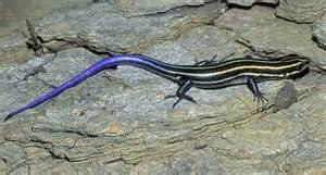
Split Rock Mountain Wild Forest is also home to the five-lined skink! I had some research to do here. No relation to the skunk. This is another reptile, a lizard. They are named for the five light-colored lines that run the length of their body. Youngsters, I learned, might exhibit a bright blue tail. Skinks are apparently quite skittish and like the Timber Rattlesnake, would probably only be visible during the warmer months of May through October.
Boating
If wanting to visit the Split Rock Mountain Wild Forest by water, the nearest public boat launch is the NYS DEC Boat Launch at Westport about 4 miles south. There is plenty of parking, 30+ paved spots for cars and trailers. The Lake Champlain Paddlers’ Trail is a water trail that leads paddlers to camping, shelter, and points of interest around the lake. Looking to spend the night? Five campsites in this wild forest are destinations along the trail - the four tent sites previously described, and the ruins of the 19th century iron mine at Lewis Clearing Bay, also known as Ore Bed Harbor.
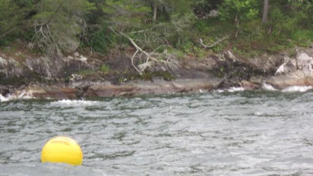
Those that like to explore underwater will find the shipwrecked steamboat, Champlain II, just south of the Split Rock Mountain Wild Forest. This steamboat used to ferry railroad cars from Burlington, Vermont to Plattsburgh, NY. A large part of the stern remains below the water’s surface where the ship ran aground in the summer of 1875. It is part of the Lake Champlain Underwater Preservation System and marked with a large bright yellow buoy. Certified divers may register (Westport Marina is a registration site) and explore this wreck which lies close to the shore line, between Barn Rock and Rock Harbor.
To experience nature at its best along the Adirondack Coast, Split Rock Mountain Wild Forest should be on your bucket list! You might even spot Champ.
