Submitted by guest blogger Jackie Bowen
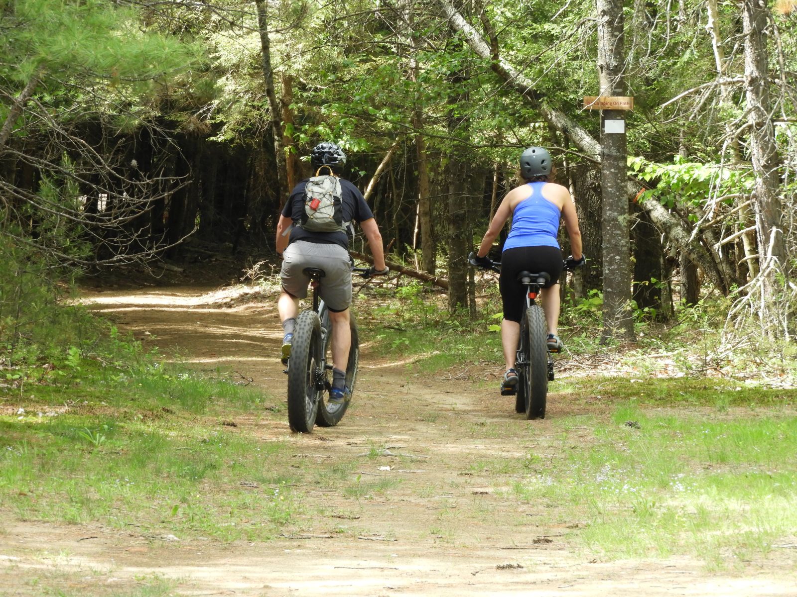
The Champlain Valley offers some excellent mountain biking opportunities for all abilities. The trails range from meandering rides through fields and forests to leg-burning climbs to beautiful vistas.
Blueberry Hill Trails in Elizabethtown
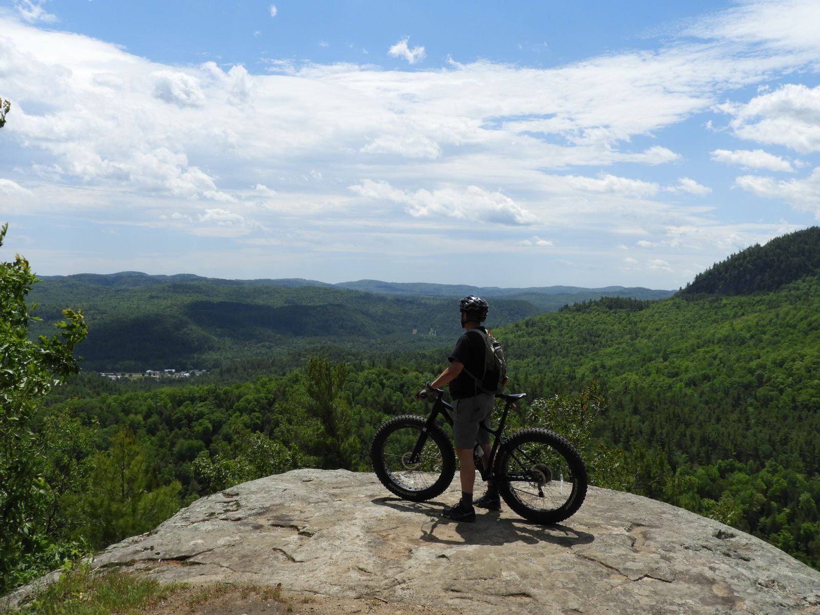
The Blueberry Hill Trails are a local favorite. The network, close to town, offers everything from old logging roads to steep, rocky inclines across thirty different trails. If you have the leg and lung capacity to get there, the summit of the Blueberry Hill lean-to trail is a great place to have a snack and soak up the stunning views of the Giant Mountain Wilderness Area. If flatter terrain and old structures are your thing, the network has a cabin and sugarhouse for riders to check out. When you’re done, you can head back into Elizabethtown to refuel and rehydrate after an epic ride.
Difficulty: easy to difficult
Miles of trail: 12 miles
Directions: Heading from Keene toward Elizabethtown on Route 9, turn left onto Lord Road. The parking lot is located on the left about 0.1 mile down the road.
A second entrance is located on Bronson Way, with additional parking and trail access. Simply continue down Lord Road, take your first left onto Roscoe Road and then take your first left onto Bronson way. Continue down this road for about half a mile, until you reach a large sandlot and parking area on your right.
Otis Mountain Recreation Area in Elizabethtown
There’s a lot of history at Otis Mountain: it operated as a ski hill in the 1940s but is now a hub for skiing, biking, and trail running. It also hosts an eclectic music festival every fall that draws 3,000 people – triple E-town’s population. And while you can go just about anywhere in the Adirondacks to take in the landscape, you’ll have to ride Otis Mountain if you want to see large, eccentric art pieces scattered invitingly across the property. The network offers some flat, slower trails perfect for less experienced riders. But make no mistake: the majority of Otis' trails lean toward challenging. With no cell reception, two summits, a waterfall, and a heron rookery, Otis is full of man-made and natural wonders.
Difficulty: moderate to difficult
Miles of trail: 7.4 miles (according to the on-site map)
Directions: Heading from Elizabethtown toward New Russia on Route 9, look for Lobdell Lane on your left (about 2 miles outside of E-town). Follow the road back to the gate and park. To access the trails, continue past the gate, the main stage, and the lean-to.
Ausable Chasm Campground & Recreation Area in Keeseville
You kind of know what you’re getting into when a place names its trails after legendary speed-metal bands. At Ausable Chasm, which features tracks called Megadeth, Anthrax, and Slayer, you can expect to whip through the forest as you hang quick lefts then rights around berms, over jumps, and along steep drop-offs. It’s addicting. Unlike other networks that rely on the natural landscape, these trails are designed solely for mountain biking. They are designed to be fun. After you try these trails, they’ll become a staple. Guaranteed.
Difficulty: easy to difficult
Miles of trail: 20 miles
Directions: Coming from the south, take Exit 34 off I-87 and take a right to follow Route 9N through Keeseville to Route 9, heading north. The parking lot will be on your right, just beyond Ausable Chasm.
From the north, take Exit 35 and head left on Bear Swamp Road. Follow this road for a few miles until you reach Route 9 and head south for about 3 miles. The parking lot will be on your left.
Split Rock Wild Forest in Westport
Split Rock, located on state land, offers only one mountain bike loop. But it’ll give you everything you can handle. A thousand feet in elevation gain, multiple downed trees, and a lot of mosquitoes (bug spray is a must) all await you here. But the reward — besides survival — includes views of old ore beds and beautiful forested ridges. You will undoubtedly want some grub after this ride, so head back into Westport to hit up the local deli, market, coffee shop, or brewery.
Difficulty: moderate to difficult — not recommended for children or casual bikers
Miles of trail: 5.3 miles (make sure to bring a map with you, the trail markings can get confusing)
Directions: From Westport, head north on Lake Shore Road for about 6 miles, then turn right into the parking lot along the road.
Champlain Area Trails (CATS) (multiple locations)
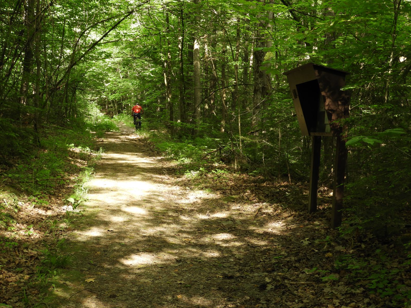
The CATS trails are a great way to get off the beaten path and onto the back roads of the Champlain Valley. Trails like the Hammond and Bloody Pond Trail, an easy 3.8 mile round trip, bring you through the forest, over brooks, and to the edge of beautiful ponds. Compared to other mountain biking trails in the region, the CATS trails allow riders to enjoy the sights and sounds around them. Pay attention and you’ll likely catch site of herons, bald eagles, foxes, or deer! With so many trail options, the CATS map is an awesome resource to explore the hidden gems of the Champlain Valley foothills.
Skill level: easy to moderate
Directions: See the CATS map linked above.
Leave No Trace
Before you head out your door, make sure you review and utilize the mountain biking Leave No Trace principles to ensure for a safe and considerate experience for everyone.
Before and after your rides, fuel up or wind down at our great cafes and restaurants, kick back at a rustic cabin, or cool off with a jump in the lake.