Trout and Round Ponds

   View trailhead on map
Round Trip
2.5 miles
4.0 kilometers

Elevation Gain
The total amount of vertical ascent (uphill climbing) on a hike. This is cumulative gain, totalling the elevation change of the uphill segments from a round-trip hike.
250 feet
76.2 meters

Route Type
A hiking trail may be classified as a Loop, Out and Back, Point to Point, Bushwhack, or Multi-day Thru Hike, with some destinations having more than one of these ways as a hiking option.
  • Out and Back
Round Trip
2.5 miles
4.0 kilometers

Route Type
A hiking trail may be classified as a Loop, Out and Back, Point to Point, Bushwhack, or Multi-day Thru Hike, with some destinations having more than one of these ways as a hiking option
  • Out and Back
Elevation
The height of the summit or destination, from sea level.
Elevation Gain
The total amount of vertical ascent (uphill climbing) on a hike. This is cumulative gain, totalling the elevation change of the uphill segments from a round-trip hike.
250 feet
76.2 meters

Round Trip
2.5 miles
4.0 kilometers

Route Type
A hiking trail may be classified as a Loop, Out and Back, Point to Point, Bushwhack, or Multi-day Thru Hike, with some destinations having more than one of these ways as a hiking option
  • Out and Back
Elevation
The total amount of vertical ascent (uphill climbing) on a hike. This is cumulative gain, totalling the elevation change of the uphill segments from a round-trip hike.
Elevation Gain
The total amount of vertical ascent (uphill climbing) on a hike. This is cumulative gain, totalling the elevation change of the uphill segments from a round-trip hike.
250 feet
76.2 meters

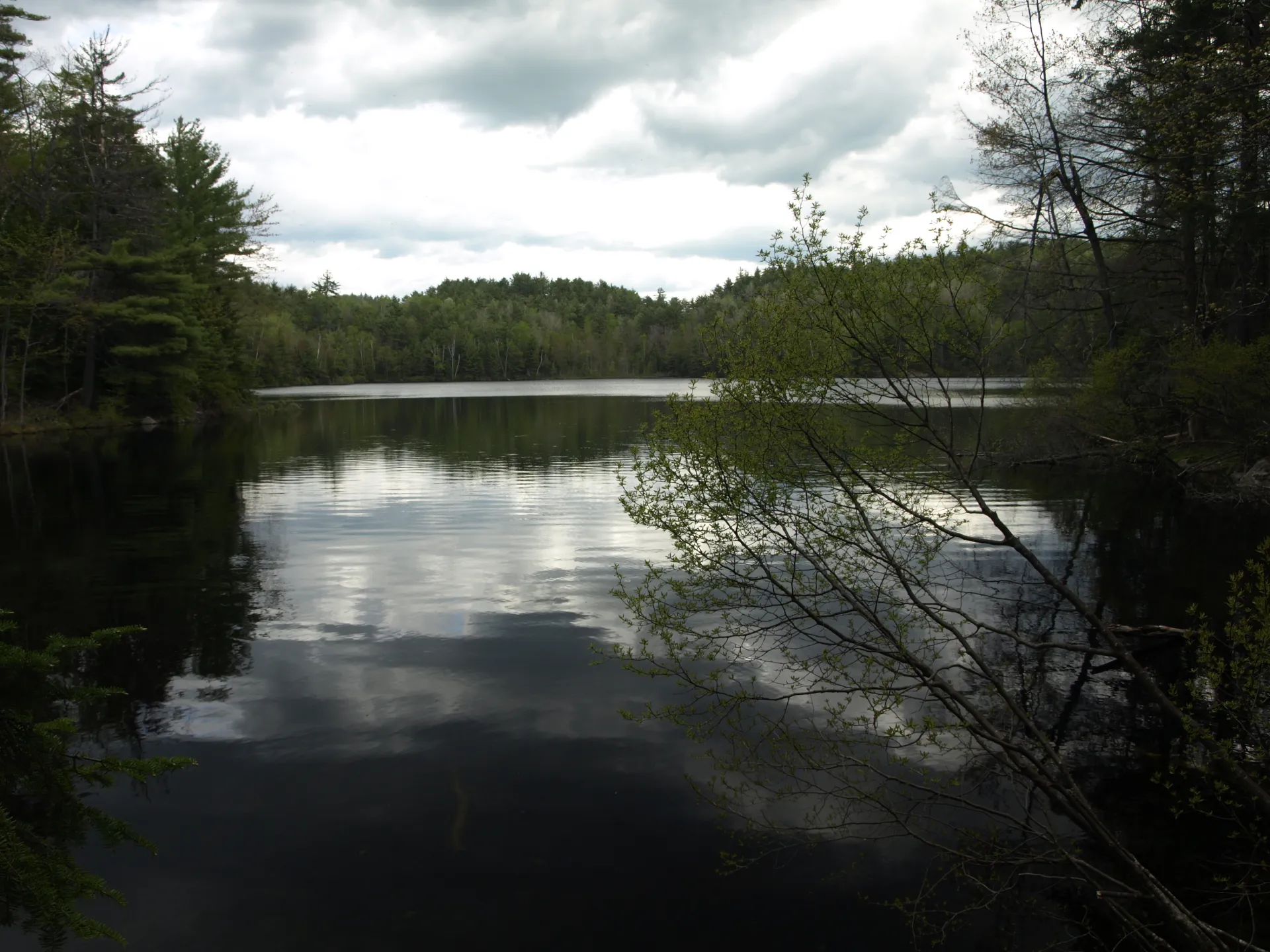
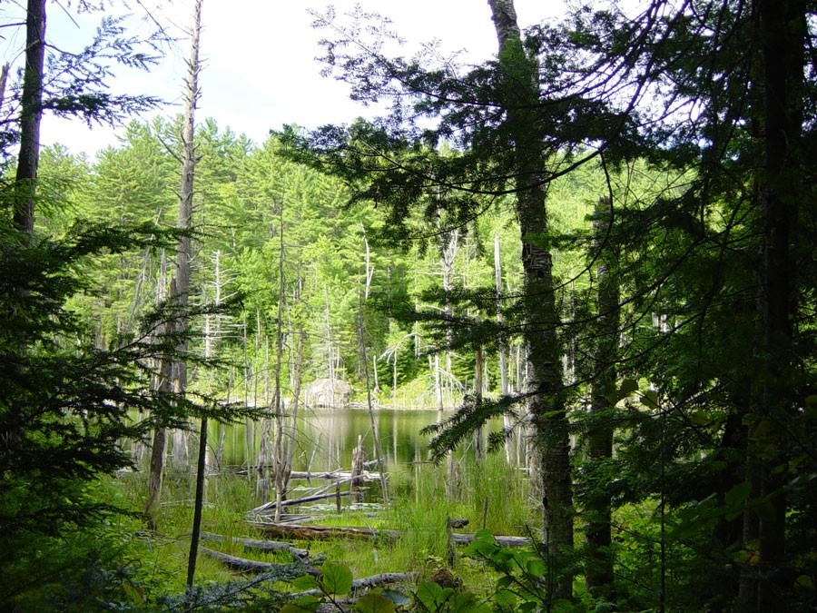
Round Pond is a quiet gem of a pond.
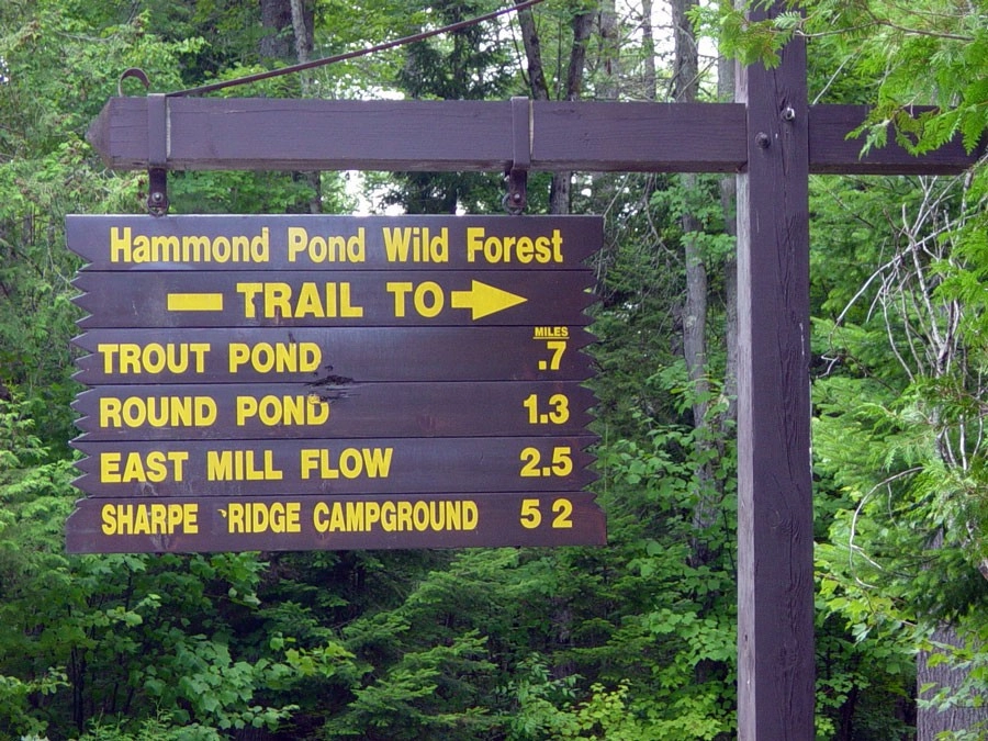
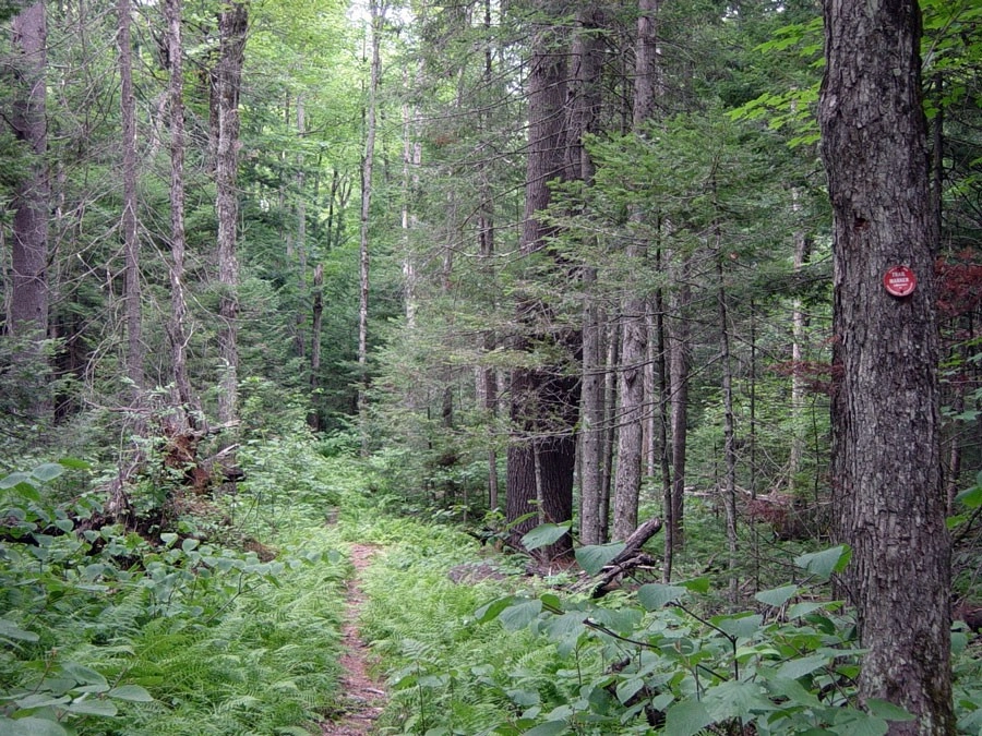
The trail sign is a reminder to sign in and out at the register.
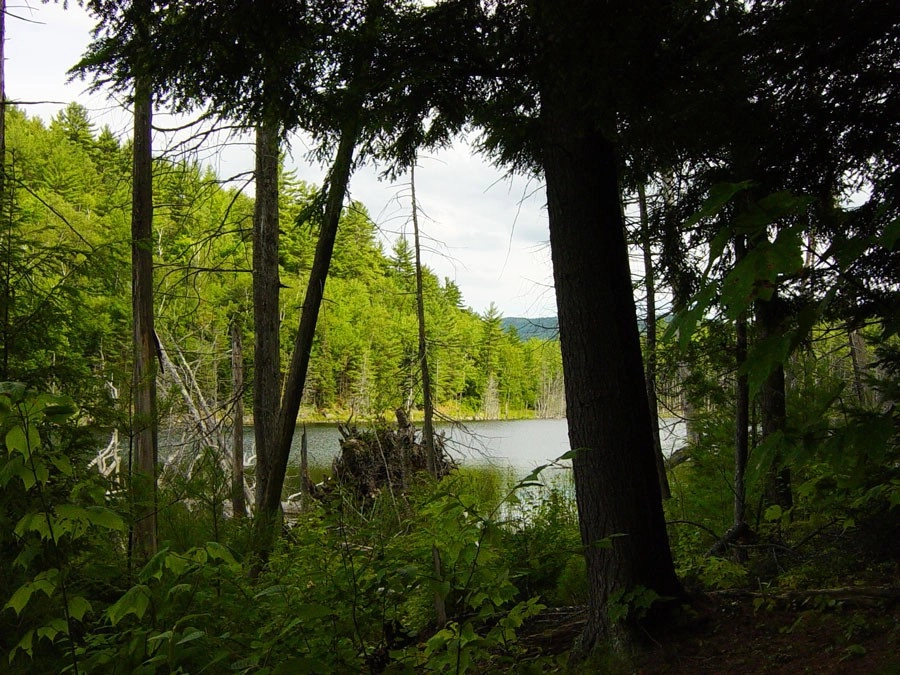
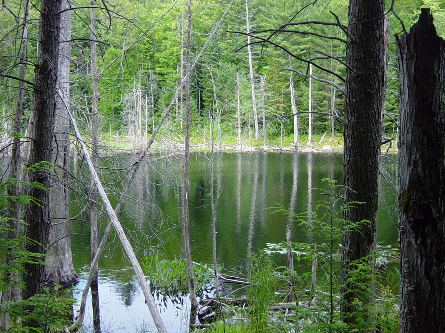
This is one of those trails where the pond suddenly reveals itself.
View all photos
trail highlights
trail features
trail category
Lakes/Ponds
Short

About

Take a pleasant hike through Hammond Pond Wild Forest to reach Trout Pond. If you choose, continue on to Round Pond.

How to get there

Trout Pond Trailhead: On Ensign Pond Road (County Rt. 4) between North Hudson and Moriah. Marked by a large DEC sign, it is 6.2 miles east of Rt. 9 N of North Hudson on the left side of the road. One can also continue 1.3 miles to Round Pond.

Key statistics

  • Distance: 2.5 miles round trip
  • Elevation gain: 250 feet
  • Based on visiting both ponds

Hiking

A pleasant hike through Hammond Pond Wild Forest, with a trail following the Trout Pond's west shoreline. Continue on the trail to reach Round Pond's southern end.

Snowshoeing

The shoreline trail makes this showshoe trek easy to follow even with a fresh snow.

Fishing

Brook trout, which also means the use or possession of bait fish is prohibited. Unwanted introductions of minnows/bait fish are a primary factor in the decline of brook trout fisheries.

Other Features

Fish Species

  • Brook Trout
Emergency Information
If you get lost or injured, remain calm and stay put. If you have cell service, call 911 or the DEC Forest Ranger Dispatch, 833-NYS-RANGERS (833-697-7264).
 
Plan ahead and hike smart. Bring a map, extra food, water, and warm clothing, and check the weather before you go. Stay aware of your surroundings and landmarks. If you get turned around, don’t panic—stop, think, and stay where you are. Let someone know your route and expected return time.
Got a sec? Champ has tips 🌊