Rocky Ledges Trail

   View trailhead on map
Round Trip
1 miles
1.6 kilometers

Elevation Gain
The total amount of vertical ascent (uphill climbing) on a hike. This is cumulative gain, totalling the elevation change of the uphill segments from a round-trip hike.
590 feet
179.8 meters

Round Trip
1 miles
1.6 kilometers

Elevation
The height of the summit or destination, from sea level.
Elevation Gain
The total amount of vertical ascent (uphill climbing) on a hike. This is cumulative gain, totalling the elevation change of the uphill segments from a round-trip hike.
590 feet
179.8 meters

Round Trip
1 miles
1.6 kilometers

Elevation
The total amount of vertical ascent (uphill climbing) on a hike. This is cumulative gain, totalling the elevation change of the uphill segments from a round-trip hike.
Elevation Gain
The total amount of vertical ascent (uphill climbing) on a hike. This is cumulative gain, totalling the elevation change of the uphill segments from a round-trip hike.
590 feet
179.8 meters

View all photos
trail highlights
trail features
trail category
No Summit View
Trail Junctions
Short

About

Rocky Ledges Trail is a section of trail that makes loops possible for North Boquet Mountain and some of the other surrounding trails.

Key takeaways

  • Distance: 1 mile one-way
  • Elevation gain: 590 feet

Hiking the Rocky Ledges Trail

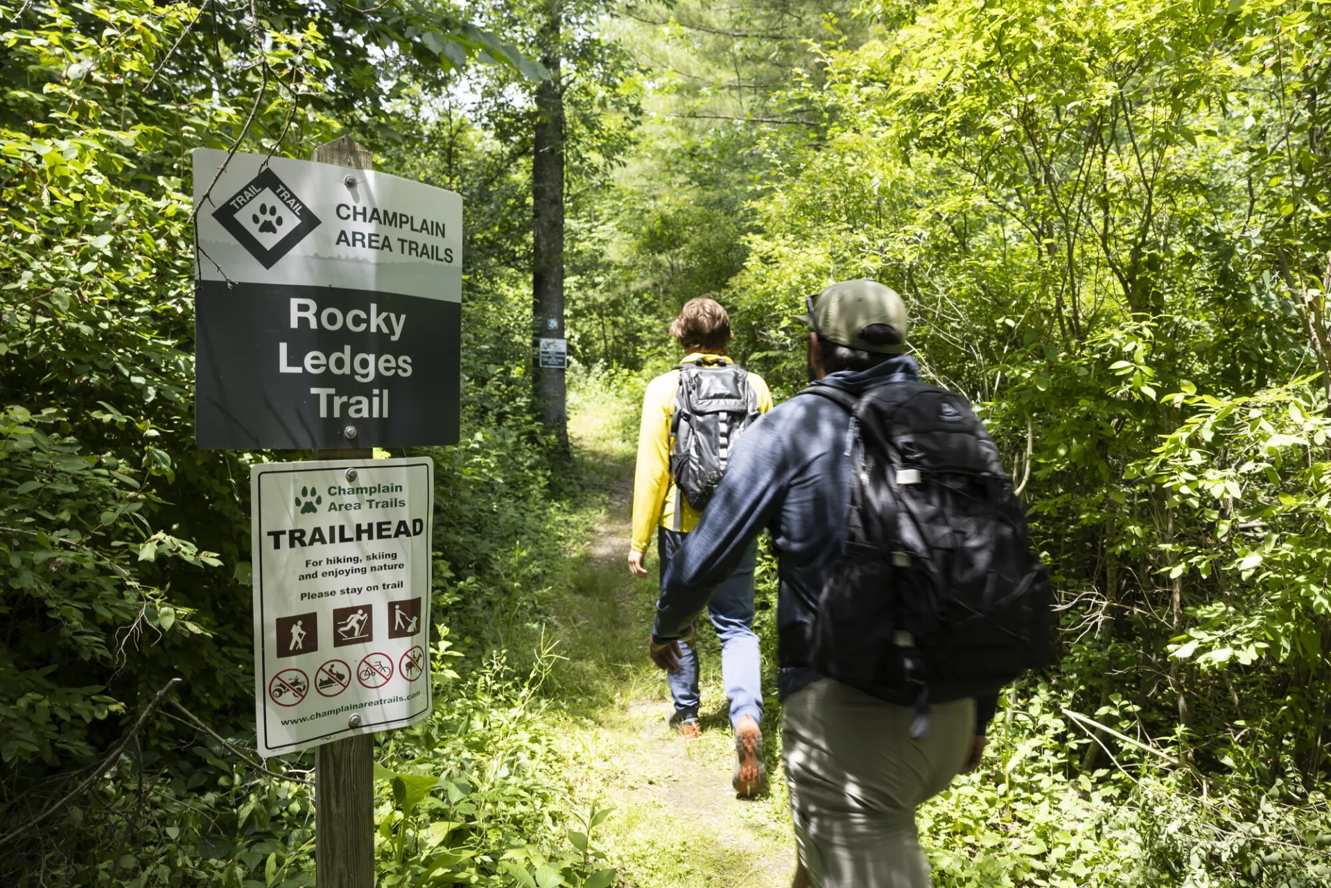
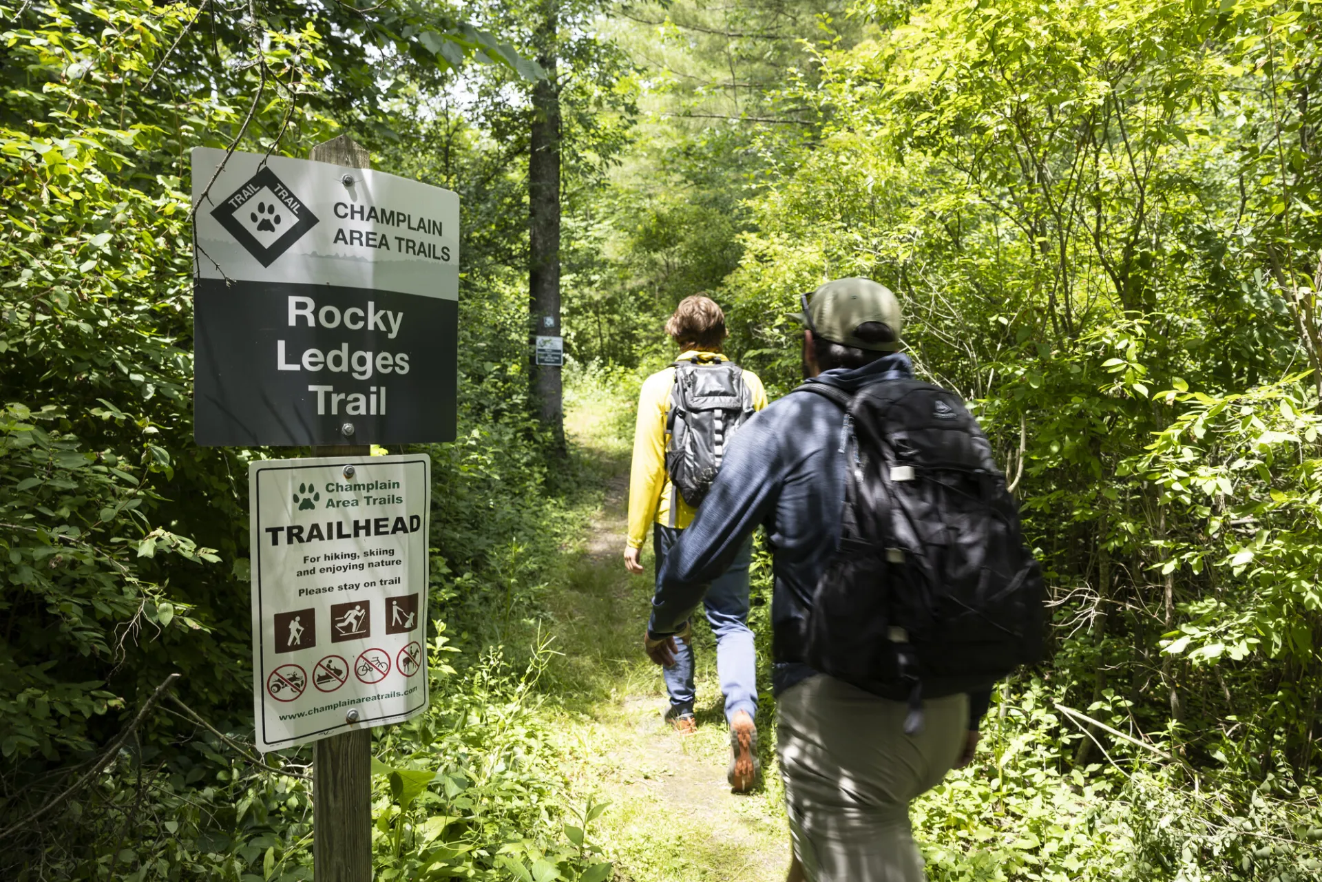
Walk 100 feet south on Leaning Road to trail through the forest by rock outcrops. Leads to North Bouquet Summit Trail, and makes a loop trail via Bouquet Mountain Trail. Visit Champlain Area Trails (CATS) for detailed maps of the loop possibilities.

Find more legendary trails in the Lake Champlain Region

Does the Rocky Ledges Trail sound amazing, but a little more than you want to tackle right now? With the Lake Champlain Region’s extensive trail network, we can easily help you find a hike that fits!

How to get there

Head south on Route 22 in Essex and continue straight onto Jersey Road, then bear left on Leaning Road. The trailhead is about 150 yards on the right.

Emergency Information
If you get lost or injured, remain calm and stay put. If you have cell service, call 911 or the DEC Forest Ranger Dispatch, 833-NYS-RANGERS (833-697-7264).
 
Plan ahead and hike smart. Bring a map, extra food, water, and warm clothing, and check the weather before you go. Stay aware of your surroundings and landmarks. If you get turned around, don’t panic—stop, think, and stay where you are. Let someone know your route and expected return time.
Got a sec? Champ has tips 🌊