- Out and Back
- Out and Back
- Out and Back


About
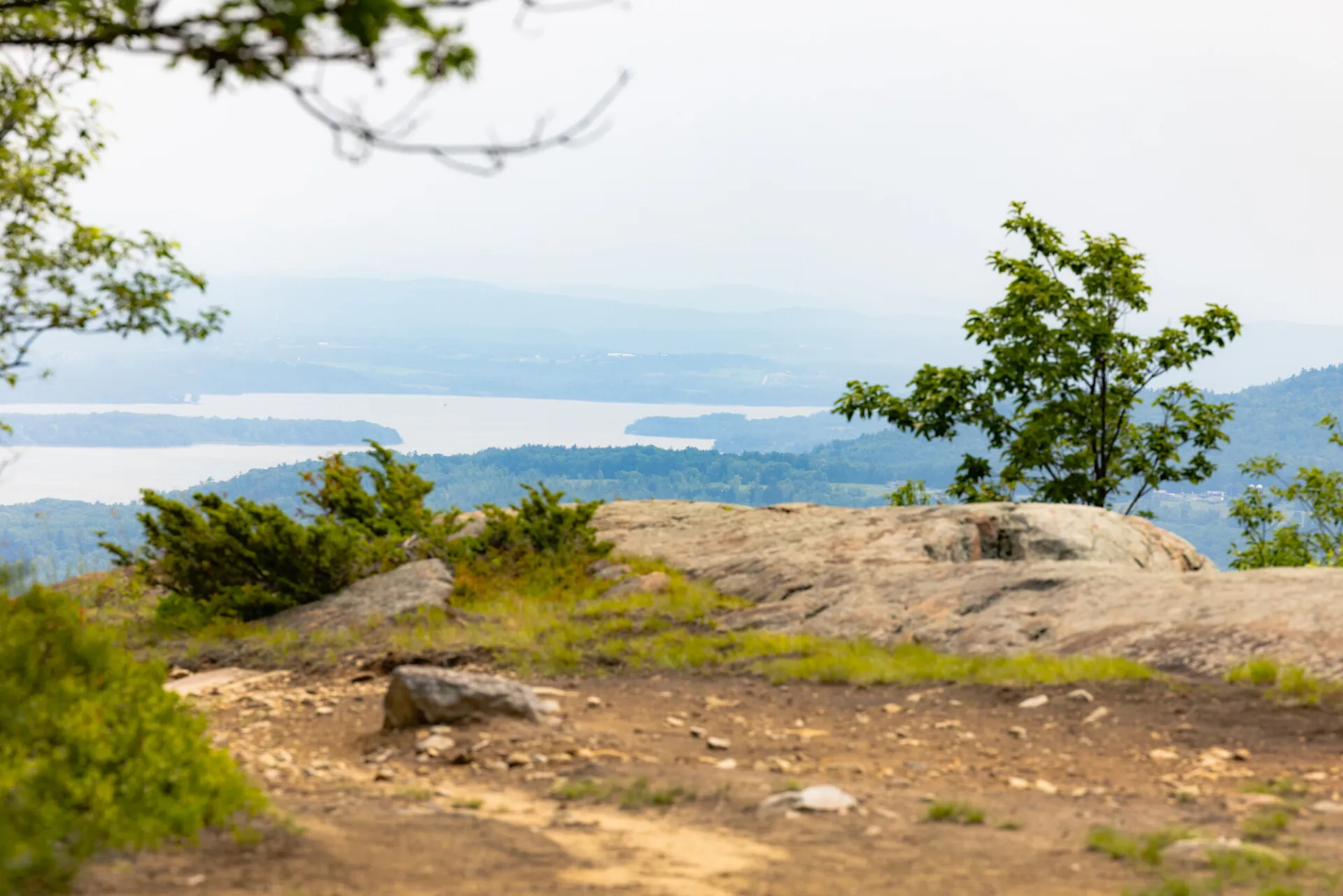
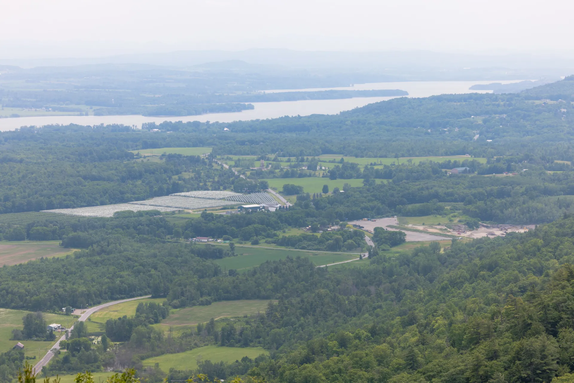
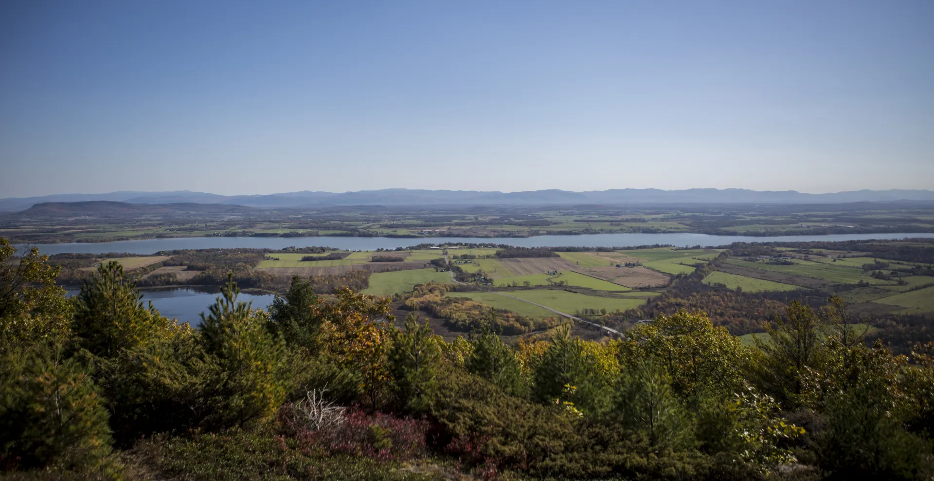
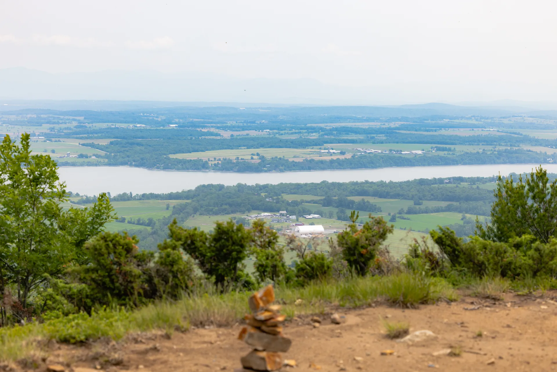
This new trail features a historic cemetery and a large summit expanse, with views from angles not easily reached by any other trail.
Key takeaways
- Distance: 1.1 miles round trip
- Summit elevation: 1,102 feet
- Elevation gain: 200 feet
Hiking to Coot Hill
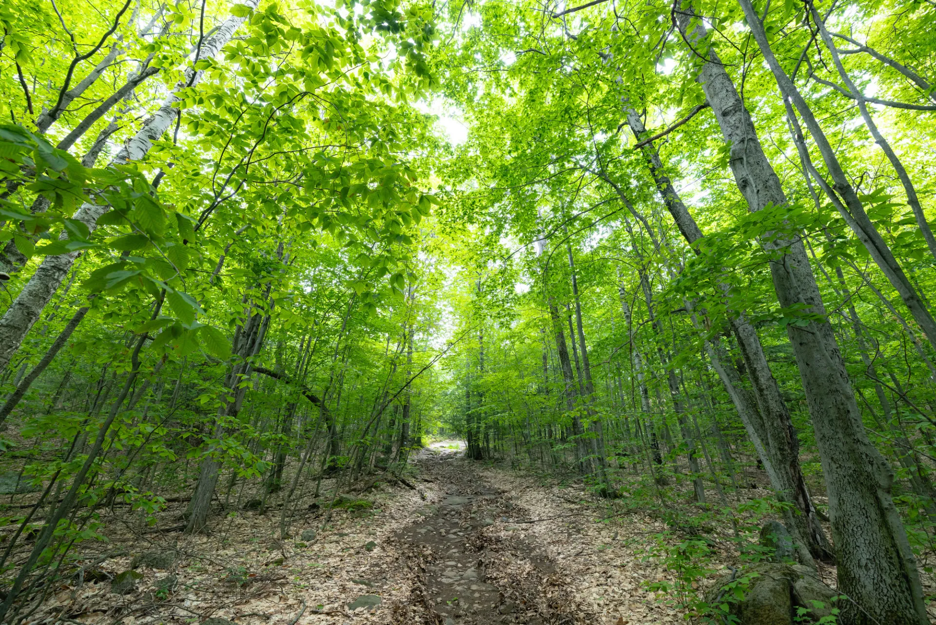
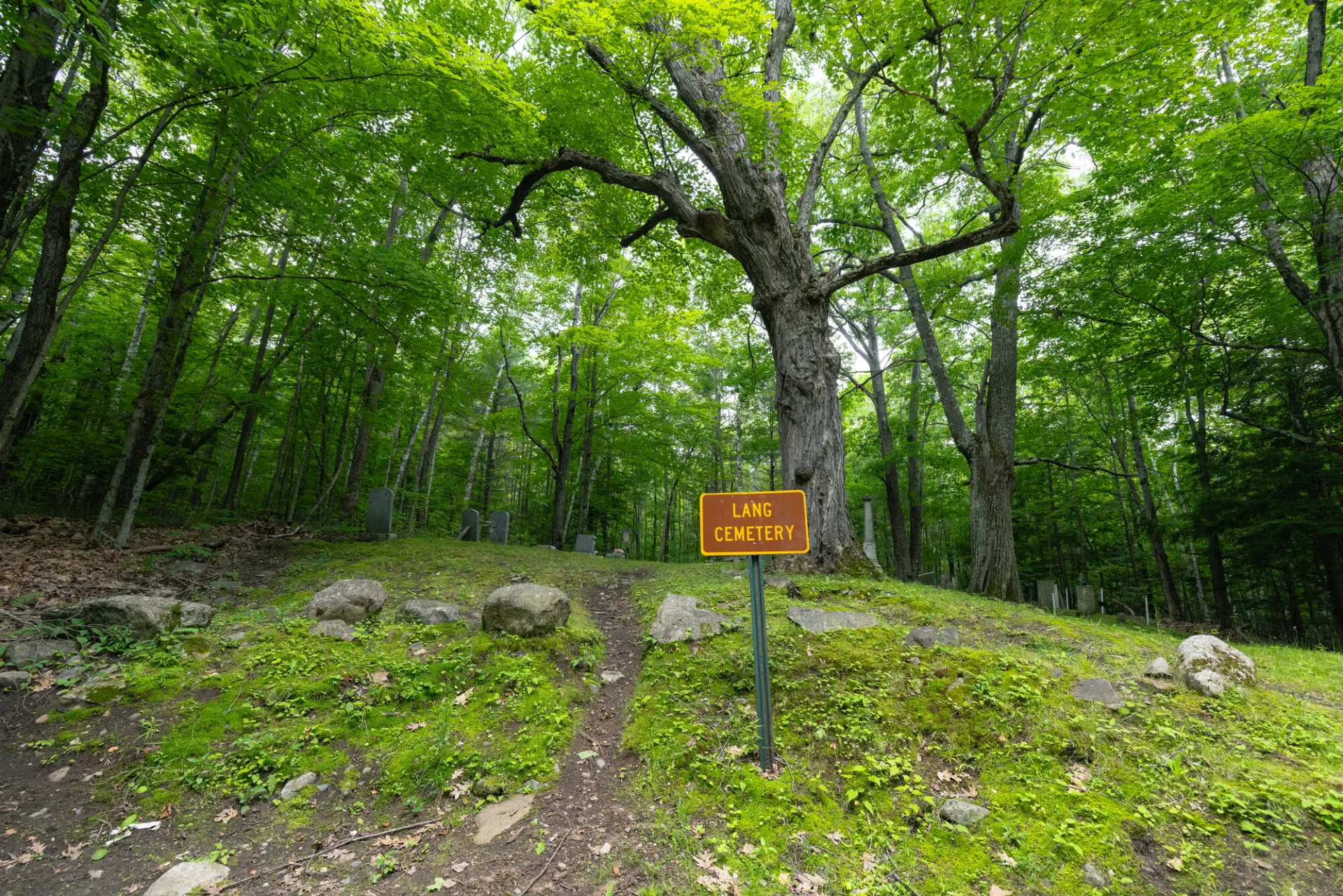
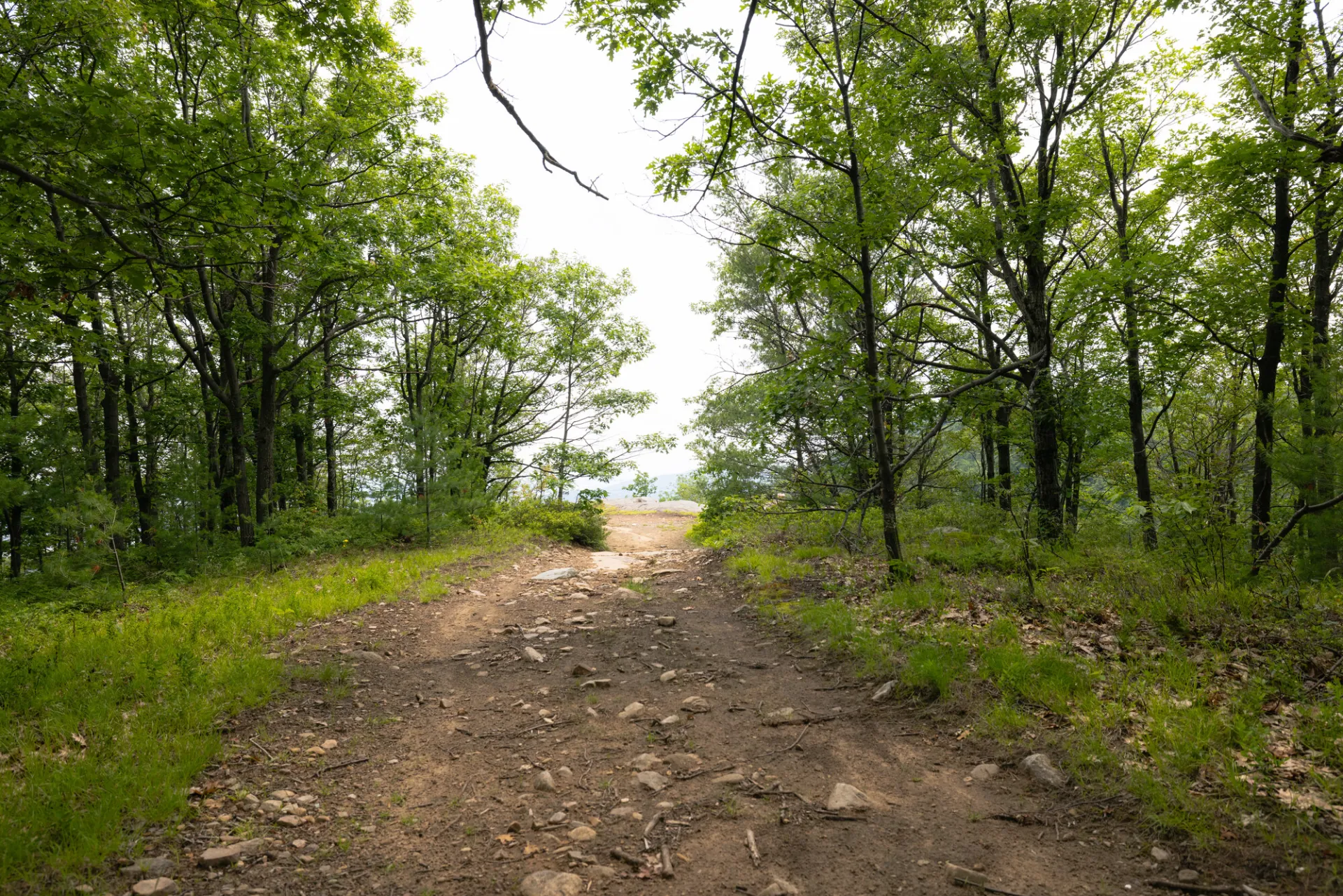
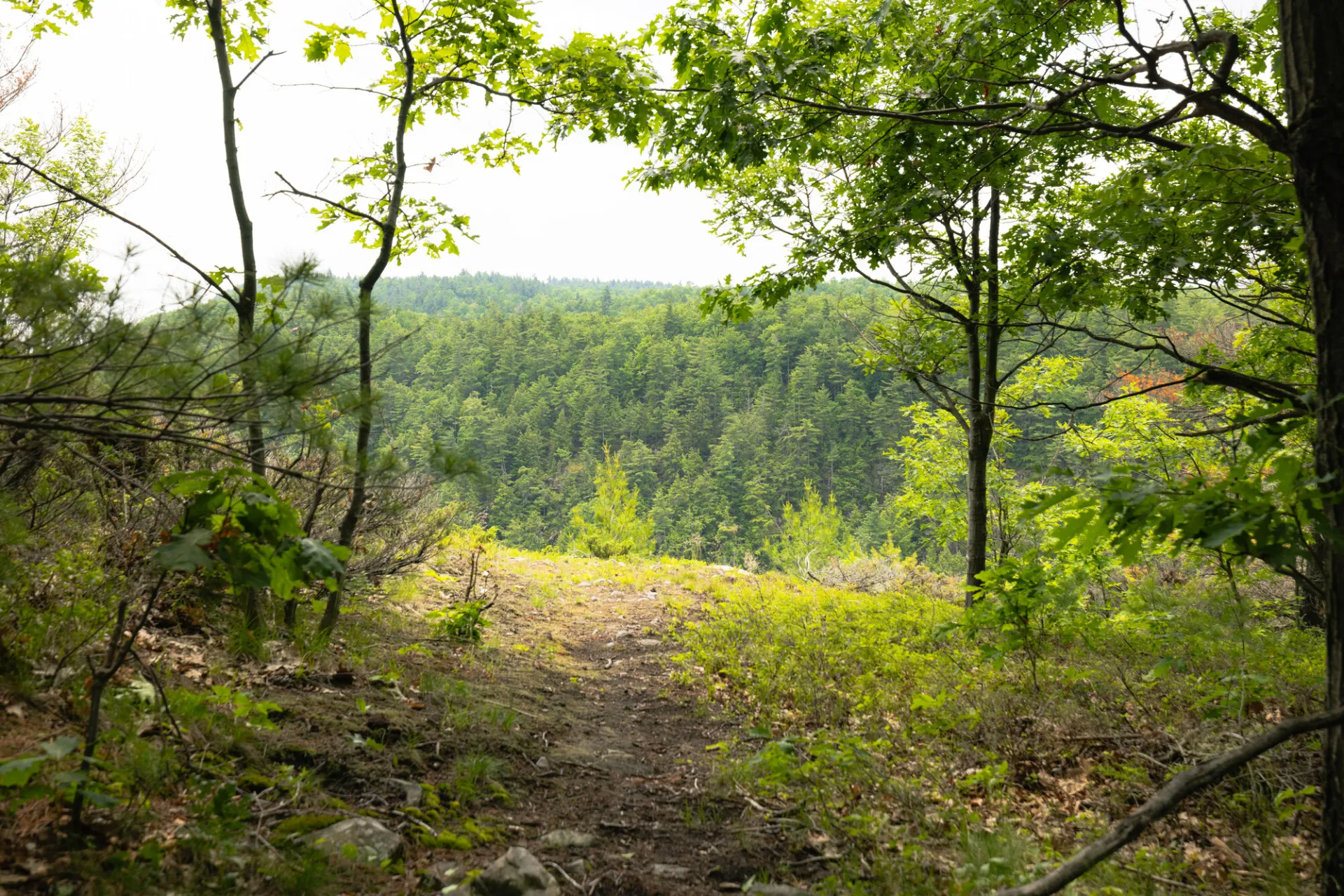
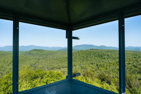
This out and back hike is not too long, so it's perfect for the entire family. The short hike is along a rock spine that takes you all the way to the lookout. You'll also pass by a historic cemetery, take a look at memorials for locals who passed well over a century ago. Off both sides of the trail near the top, the ground falls away - the Champlain Valley is to the east, Big Hollow (a 400-foot glacial chasm) to the south. Blueberries are abundant on the summit. Farm fields stretch out below, reaching the lake shore. Beyond the lake, the Green Mountains of Vermont rise above the waters.
History meets natural beauty
Explore the historic Big Hollow/Coot Trailhead on the Lake Champlain Revolutionary Quest, a self-guided trail launching in May 2025 to commemorate the 250th anniversary of the American Revolution. From this scenic overlook, reflect on Lake Champlain's crucial role in the fight for freedom. Hike the trails, enjoy stunning views, and earn exclusive rewards as part of your quest!
Birding
Coot Hill has gained fame with birders in recent years as a good place to watch hawks during migration – including Bald Eagles, Red-tailed Hawks, Osprey, Broad-winged Hawks, and anything else which passes along the lake. The forest along the road also has breeding songbirds during the warm months.
Coot Hill in the winter
In winter, the road may not be plowed all the way to the parking lot, adding mileage. If plowed, this is a great snowshoe when the coverage is okay.
Find more legendary trails in the Lake Champlain Region
Want to find more hikes in the Lake Champlain Region’s open spaces? With the Lake Champlain Region’s extensive trail network, there are endless options to choose from!
Find out more
There is a lot of history here. Did you know that Robert Rogers, an 18th century British guerrilla fighter, spied from this lookout on the French fort below at Crown Point?
Read our blog about this hike and some interesting history: New Champlain Area Trail with a view.
How to get there
From Port Henry travel south on Route 22 to Edgemont Road, then turn left on Harry Allen Road, left again on County Route 7 and left again on the Lang Road. This brings you to the dirt road that will lead to the trailhead. Park near the cemetery. From the parking area it is less than a half mile hike to the summit.
Emergency Information
Related Content
Four local Moriah-area hikes make up this family-friendly hiking challenge.
Lake Champlain Region

Champ's Local Tips
Skip the I-87 traffic — take the ferry between Charlotte, VT and Essex, NY. Twenty minutes, and the view beats the highway.