- Loop
- Loop
- Loop
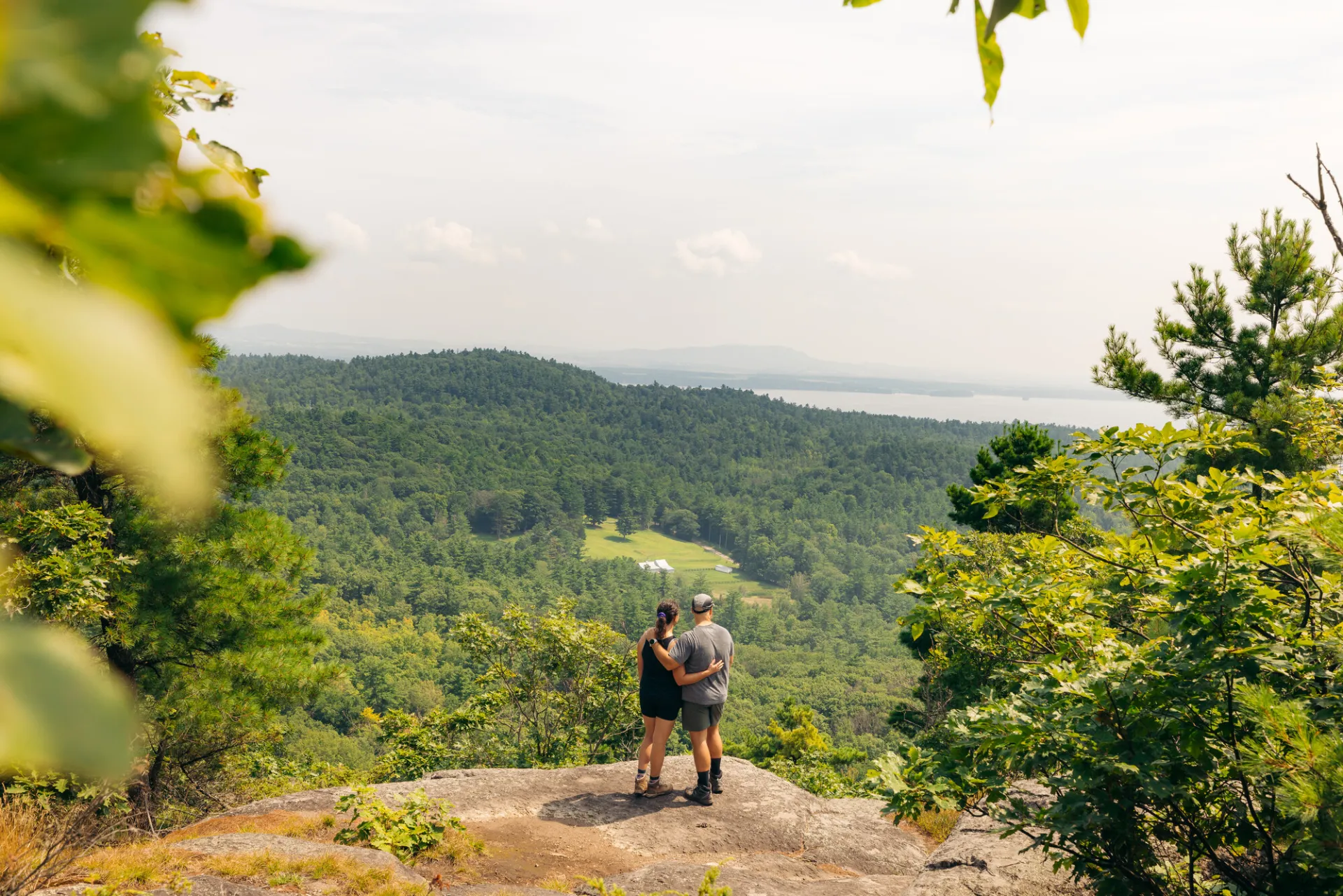


About
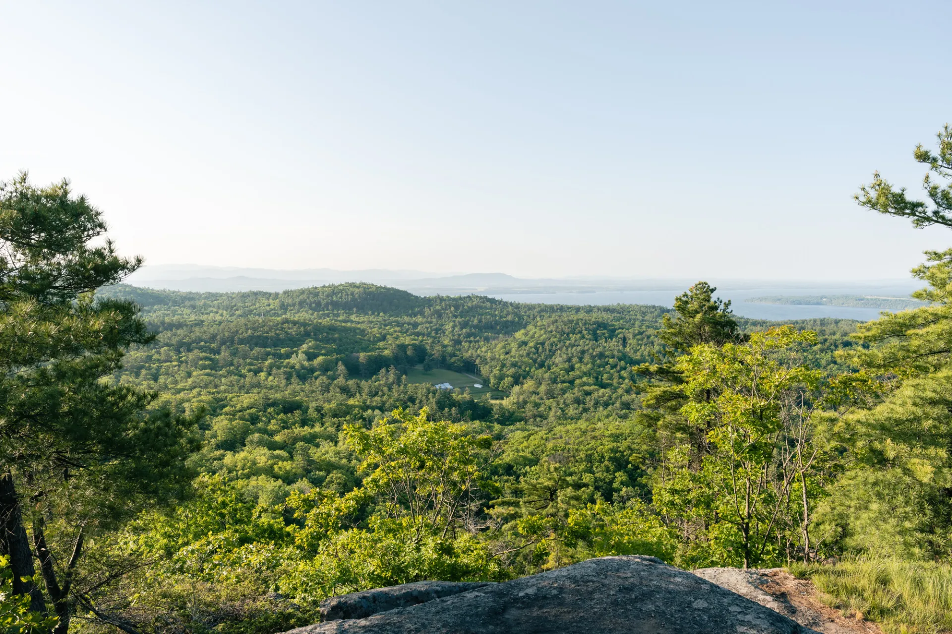
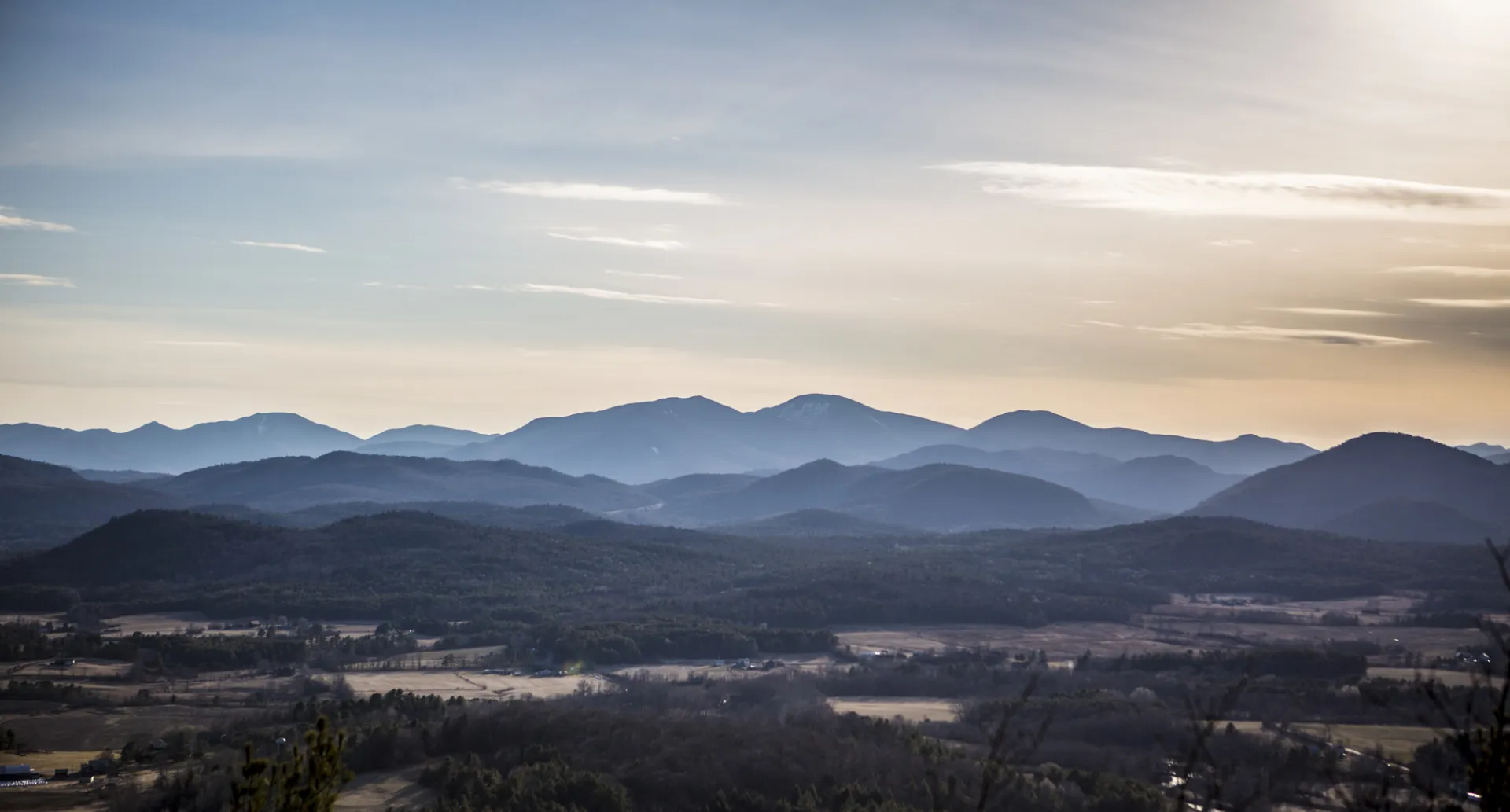
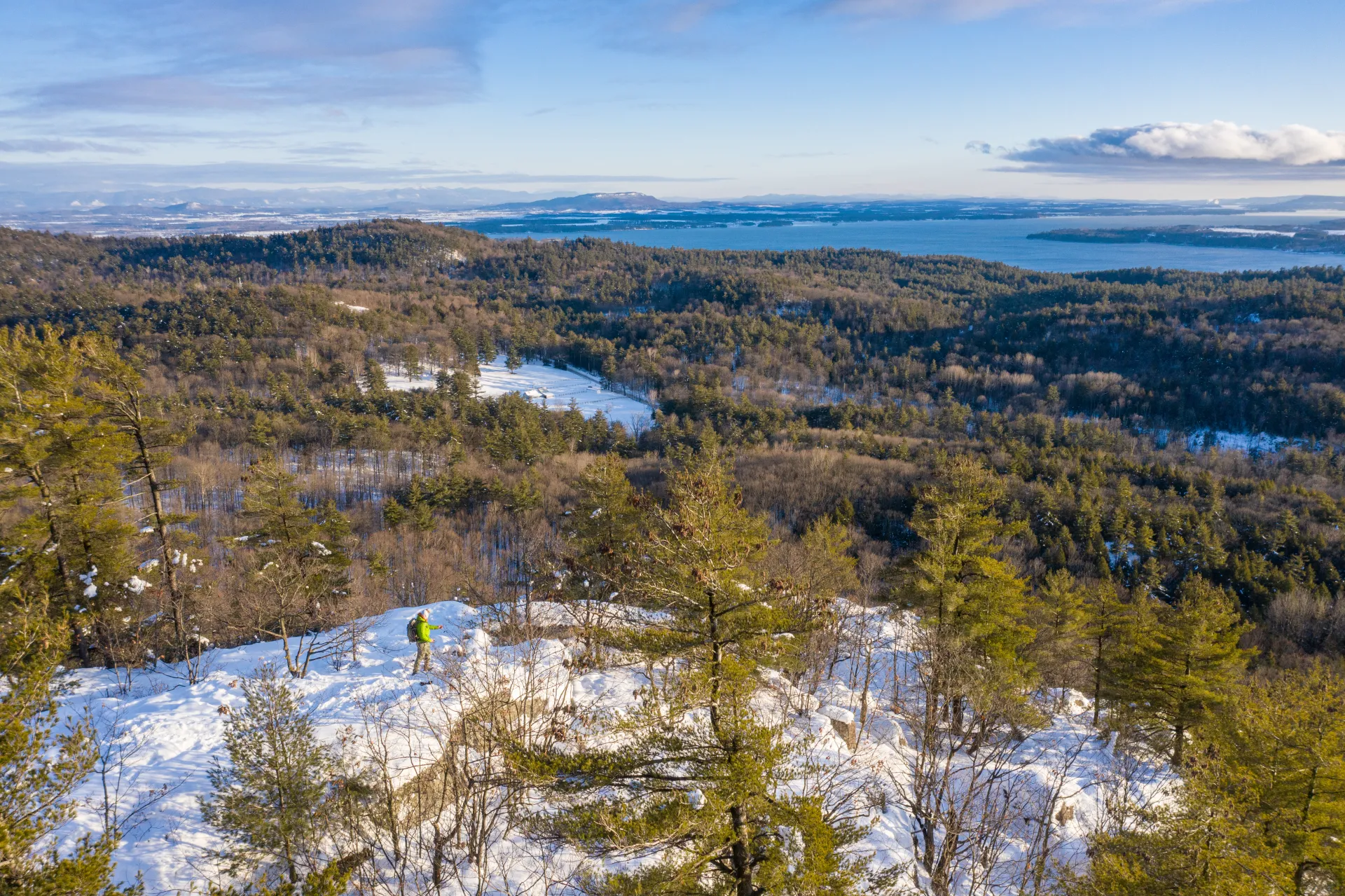
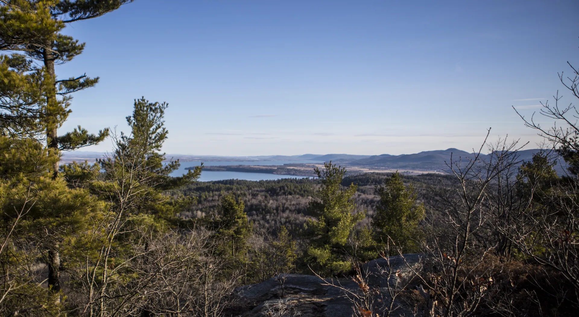
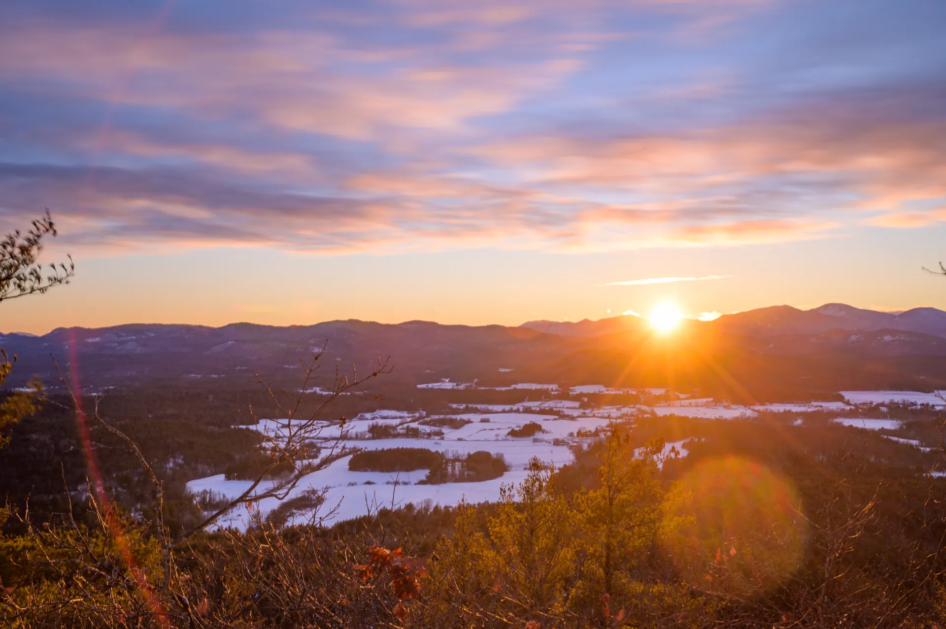
Coon Mountain is on the Coon Mountain Preserve, which is owned by the Adirondack Land Trust. This is a perfect family outing, and if you are in the area it should not be missed. The views over Lake Champlain and into the Green Mountains of Vermont are amazing.
Key takeaways
- Distance: 2 miles round trip
- Elevation gain: 600 feet
- Elevation: 1,014 feet
- Hike includes trail junctions
Hiking Coon Mountain
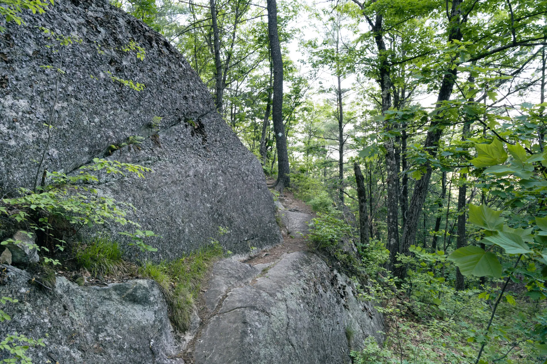
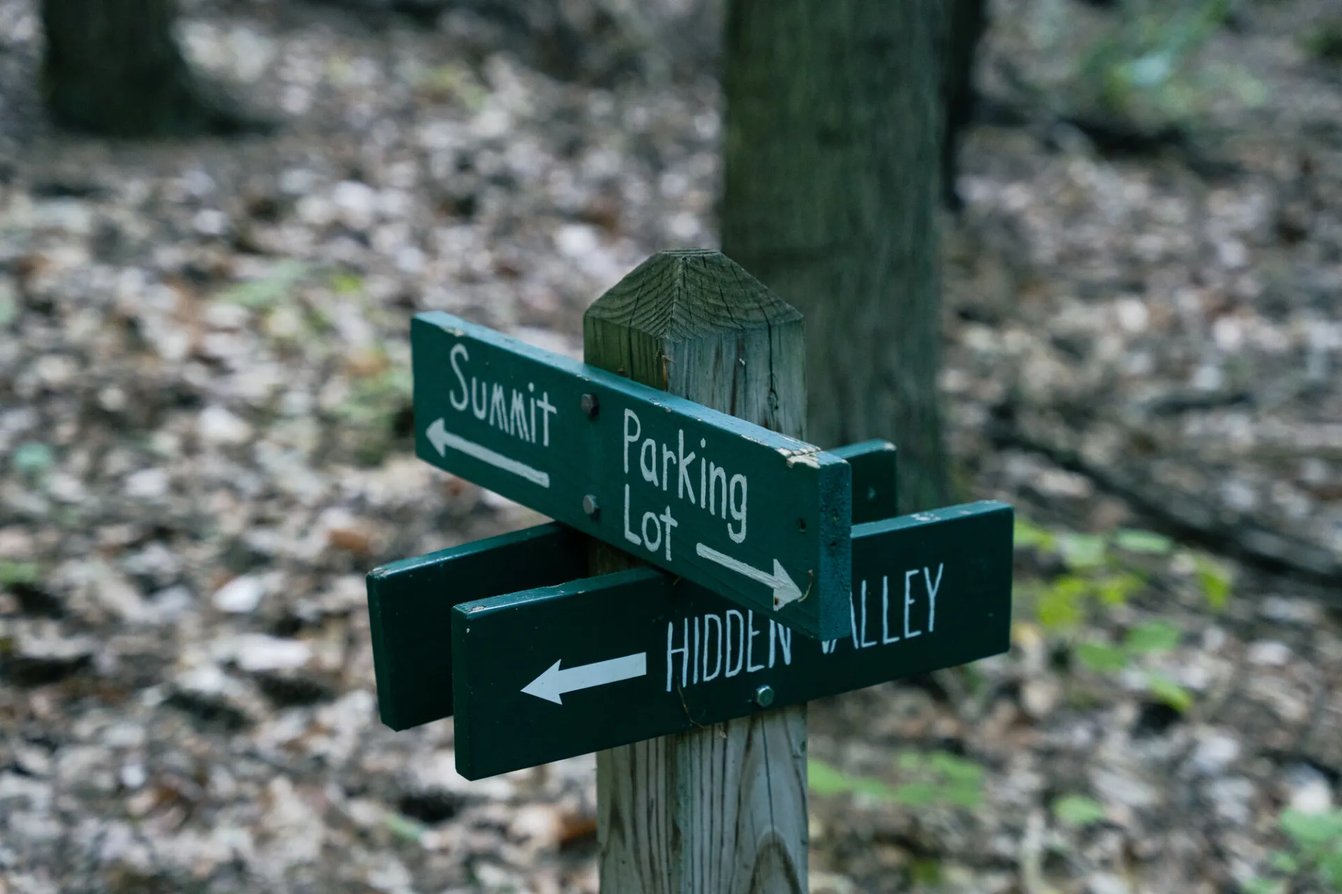
From the trailhead the path starts climbing almost immediately. The trail never gets too steep, but it does have a moderate and constant incline. One short section gets steep as it passes through a rocky section, where footing is a bit more difficult. There is an option near the start for a trail left or right. Both lead to the same point, with the leftmost trail (Hidden Valley Trail) being a bit longer. We suggest incorporating both into the hike, and going up via the right trail, and down via the Hidden Valley trail, which makes the trail 2 miles overall.
Coon Mountain in the winter
The parking area is accessible in the winter, and while crosscountry skiing this trail is not recommended, snowshoes and microspikes are perfect for hiking this mountain in the winter. Make sure to be prepared for all winter conditions.
Find more legendary trails in the Lake Champlain Region
Does Coon Mountain sound amazing, but a little more than you want to tackle right now? With the Lake Champlain Region’s extensive trail network, we can easily help you find a hike that fits!
How to get there
From the intersection of Route 9N and Route 22 in Westport, take Route 22 north. Follow this for 0.4 mile and turn right on Lakeshore Road, then continue for 2.5 miles and turn left on Halds Road. The trailhead is on the right in just under a mile.
Emergency Information
Related Content
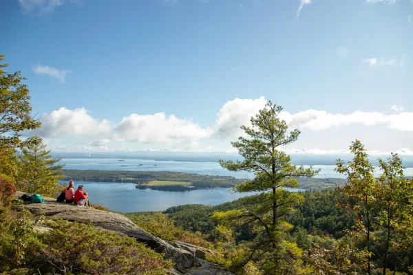
Visit the Lake Champlain Region of the Adirondacks to find delicious craft brews and hikes with killer views!
Lake Champlain Region

Champ's Local Tips
Skip the I-87 traffic — take the ferry between Charlotte, VT and Essex, NY. Twenty minutes, and the view beats the highway.