A circumnavigation of Goose Pond
I spend quite a lot of time out on the trails but over the years I have found a unique love for the mountains in the Adirondack Park that don’t have trails. There is so much lightly explored and unexplored land out there just calling my name, and I answer the summons to see what I can discover with enthusiasm and excitement. New and exciting features, landscape, views, dense forest, tall cliffs, hidden wetlands, abandoned woods roads, and so much more – that’s what I see and that’s what feeds my addiction.
Planning my bushwhack
This day would be no different... I left my home to scope out three named peaks with no trails on the way to their obscure summits in the Pharaoh Mountain Wilderness. I started planning for this solo adventure a couple days prior - while sitting at my desk where I was supposed to be productive in other forms, referred to as work. I couldn’t help it, I had a bug and I needed to feed it. I was so looking forward to my mid-week day off and my eyes floated toward the Pharaoh Mountain Region in Schroon Lake.
This is my typical progression to bushwhacking (a rudimentary list and most of these take little to no time at all):
1) look at a map
2) find a place I have never been
3) look over the maps land features and find a potential route
4) pack my backpack and make lunch
5) leave a note and drive to said location
6) hike
7) drive home and raid the fridge
Hike to Goose Pond
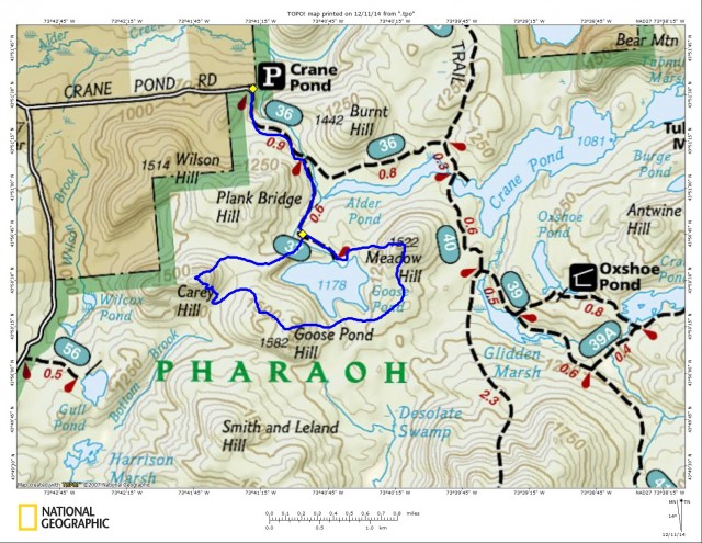
As I drove to Schroon Lake I dreamt about what I would find. Arriving at the Crane Pond Road/Trail I donned my pack. Technically, the end of Crane Pond Road goes through wilderness and is not permitted to be driven (although it seems to used by many). Winter is here even though the dates on the calendar don’t match up to the exact season; the snow speaks otherwise. “Trail?” You may ask. Well, not all of my bushwhacks start out as such. Sometimes there is a perfectly good trail that accesses my bushwhacking plans and in this case it was the Crane Pond Road and the Goose Pond Trail from there.
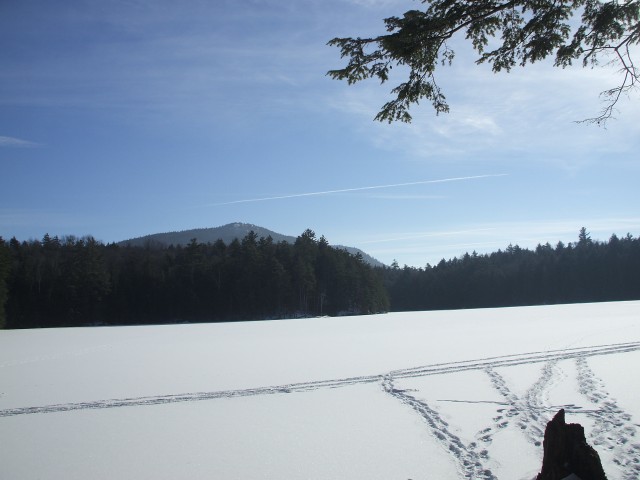
I moved along, barely lifting my head from the view of the slippery, snow and ice covered road. I reached the Goose Pond Trail and made very fast work of that 0.6 mile trail as well. After a few pictures of the frozen pond I took a GPS heading toward the summit of Meadow Hill. My GPS headings are based on a straight line route, which when bushwhacking, does not exist. My GPS calculated 0.45 miles to the summit, I usually add about 25% to that total for switchbacks and any deviation from the estimated straight line reading. So in about 0.75 miles and 30 minutes I should be standing atop Meadow Hill.
Climbing Meadow Hill
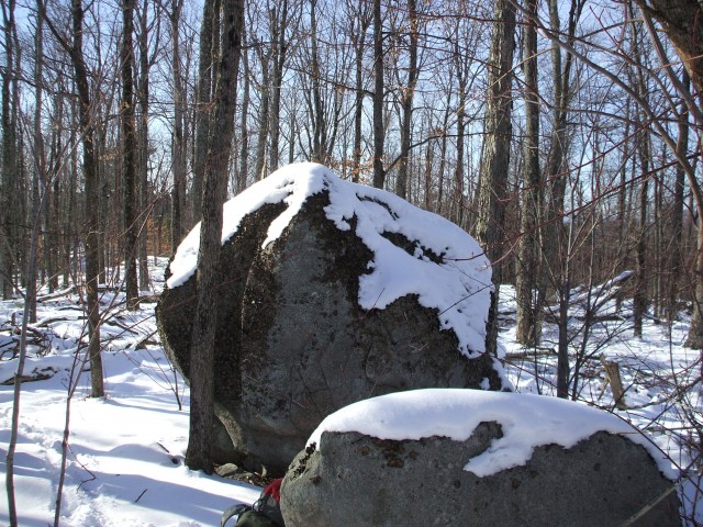
Meadow Hill is a 1522’ peak northeast of Goose Pond. It has no exciting land features that I can see on the map, but who knows. Come to find out the map was accurate. I found that the slope was easy, never too steep, and was comprised of an open forest to allow me easy passage to the wooded summit; a couple well-dropped erratics welcomed me. My next straight line heading would give me a 0.95 mile distance to Goose Pond Hill. That’s all fine and dandy but a straight line brought me directly over the pond and I don’t cross the ice. It’s a phobia of mine that I am doing better with, but I still hate it and avoid it if I can. So again I added 25% to the total mileage, and followed the southern ridge off Meadow Hill.
Goose Pond Hill
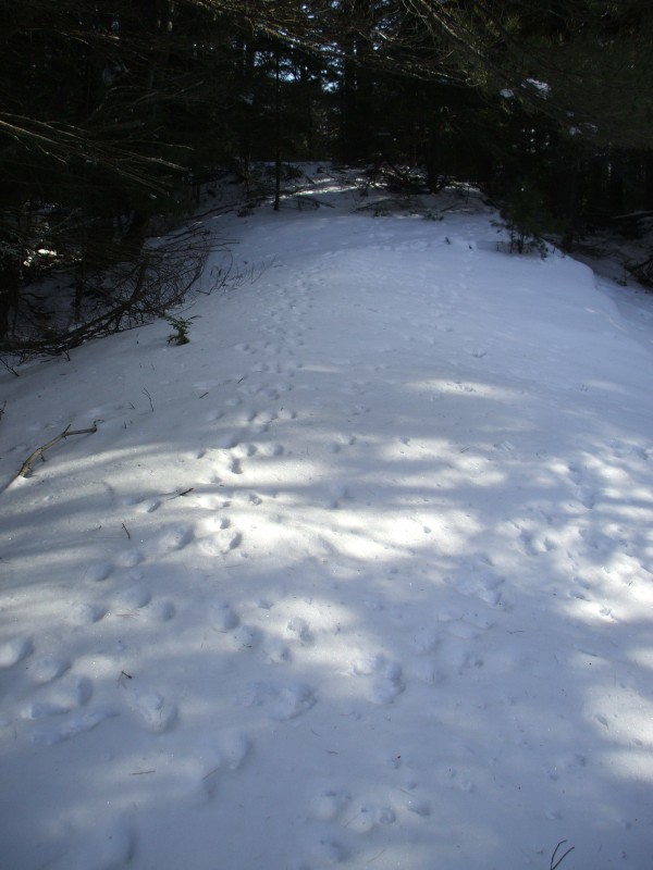
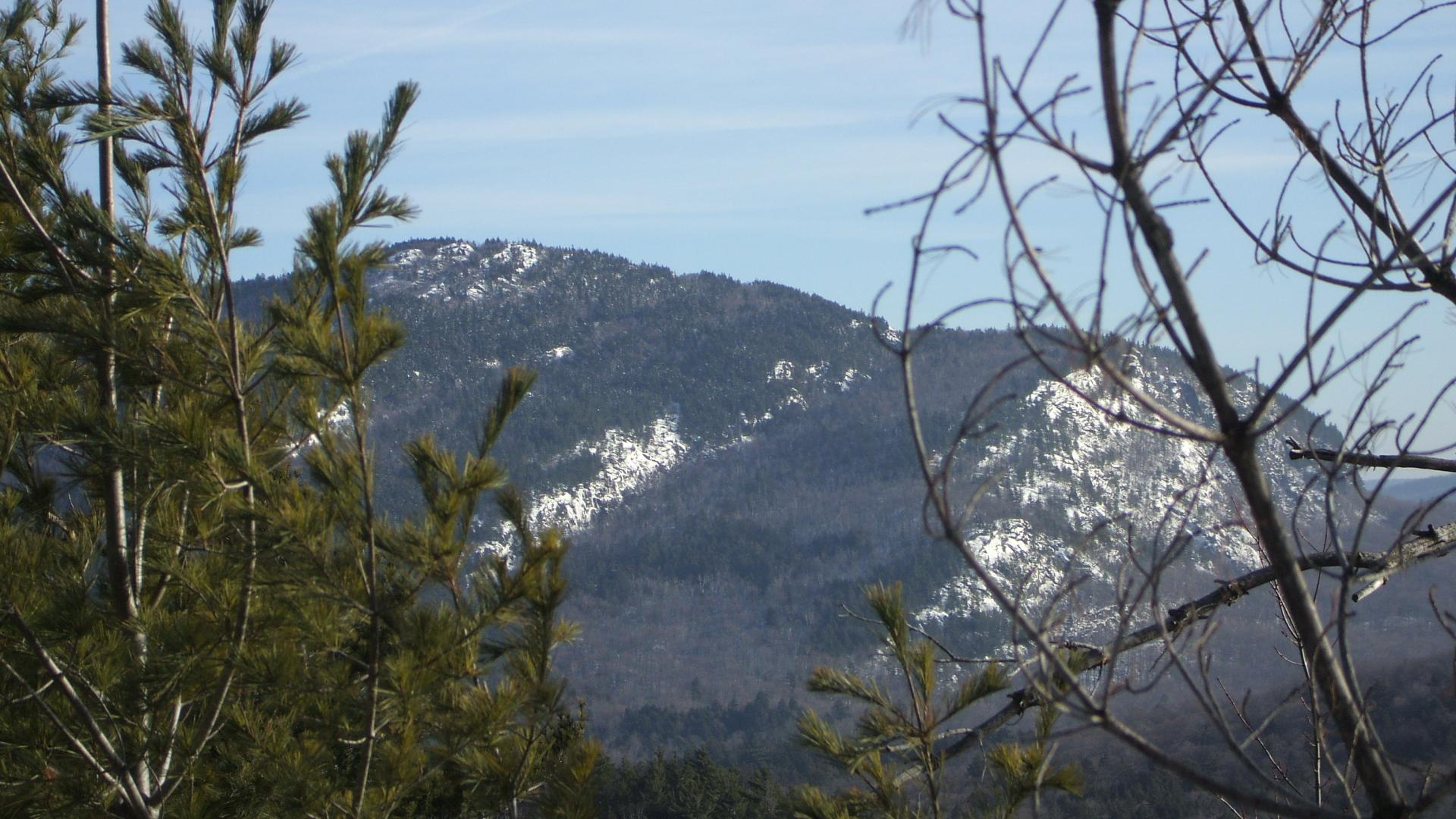
Goose Pond Hill is a towering 1582’ peak southwest of Goose Pond (towering is more tongue-in-cheek). I started my easy descent along the ridge, meandering through the open forest all while getting face slapped by beech whips and maple saplings. The ridge is so gentle I had a difficult time making a straight line down it and just decided to go back down to the pond and follow the shore. I ended up in an unusually wet area for this time of year; I would have assumed all spring-fed muck would be frozen solid or close there too. I found myself standing in a field of snow covered mud, similar to the look and consistency of chocolate ice cream that has been sitting on the counter for too long. I didn’t have a spoon to eat my way out even if I wanted too, so I made a short detour slightly uphill and back onto the ridge. Goose Pond Hill would be a slightly more interesting hike. The terrain was much steeper which finally gave me the increased heart rate and workout I was hoping for, but would there be a view? The mountain has potential; my eyes wandered ahead of my feet. A long flat rocky walkway brought me to the summit, slight views through the trees, but nothing too extensive. I could soon see Carey Hill, my next destination, this one had definite promise.
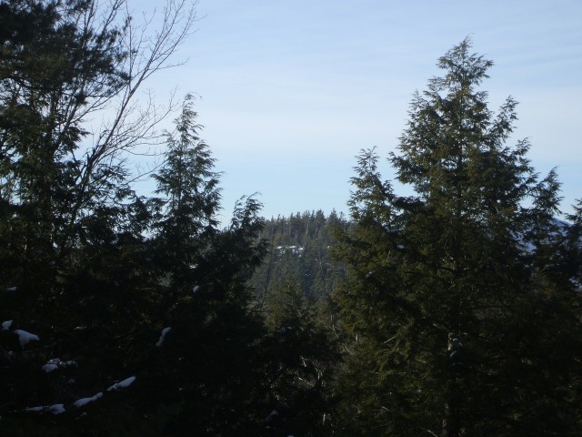
Climbing Carey Hill
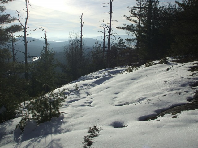
Last on my list of peaks for the day was Carey Hill. This 1685’ peak was only about a mile away give or take a tenth or two and it would be the highest point of the day, in all definitions of the word. The easy descent led me to a high col between the two peaks, I could see the semi-open cliff near the summit and my body wants to be there already. The climb was a bit steeper than even that on Goose Pond Hill, but that didn’t matter- it was all relative. I almost ran to the top as though the view would close like a big stage curtain on opening night. Finally I was there and by finally I mean, in the blink on an eye. WOOHOO, the views were excellent! Not sweeping, but there were views unique to the area. Possibly rarely visited, maybe only a couple of time by hunters even, who knows? I didn’t want to leave, but I knew I had too. Daylight would be running out like metered parking on Black Friday, and I am not a fan of bushwhacking in the dark. Hiking a trail at dark is no problem but bushwhacking is a totally different adventure. Land features are almost meaningless in the dark, distance as well. The light illuminates the branches in front of you giving you less sense of direction and visibility – but that wouldn’t be a problem today. I was back on the trail well ahead of the darkness and the road was lit enough from the snow reflection that a headlamp was not even required to get me back to the car. The two hour drive home would be a long one. Alone in my tired state, it would be a two-cup-of-coffee drive, but at least the roads were clear.
Bushwhacking is not a sport for everyone. If you have never tried the sport, I recommend it at least once. However, it’s important that you have some experience or firsthand knowledge of GPS and map and compass before you venture out too far. I would even go as far as to recommend taking an intro to bushwhacking course through a local guide service. In the very least, start with something small before you wander too far off-trail. Be prepared for anything and for your own sake, tell someone where you are going, the planned route, and what time you plan to be home eating a hearty dinner.

