Mount Defiance

   View trailhead on map
Round Trip
2.2 miles
3.5 kilometers

Elevation
The height of the summit or destination, from sea level.
845 feet
257.6 meters

Elevation Gain
The total amount of vertical ascent (uphill climbing) on a hike. This is cumulative gain, totalling the elevation change of the uphill segments from a round-trip hike.
525 feet
160.0 meters

Route Type
A hiking trail may be classified as a Loop, Out and Back, Point to Point, Bushwhack, or Multi-day Thru Hike, with some destinations having more than one of these ways as a hiking option.
  • Out and Back
Round Trip
2.2 miles
3.5 kilometers

Route Type
A hiking trail may be classified as a Loop, Out and Back, Point to Point, Bushwhack, or Multi-day Thru Hike, with some destinations having more than one of these ways as a hiking option
  • Out and Back
Elevation
The height of the summit or destination, from sea level.
845 feet
257.6 meters

Elevation Gain
The total amount of vertical ascent (uphill climbing) on a hike. This is cumulative gain, totalling the elevation change of the uphill segments from a round-trip hike.
525 feet
160.0 meters

Round Trip
2.2 miles
3.5 kilometers

Route Type
A hiking trail may be classified as a Loop, Out and Back, Point to Point, Bushwhack, or Multi-day Thru Hike, with some destinations having more than one of these ways as a hiking option
  • Out and Back
Elevation
The total amount of vertical ascent (uphill climbing) on a hike. This is cumulative gain, totalling the elevation change of the uphill segments from a round-trip hike.
845 feet
257.6 meters

Elevation Gain
The total amount of vertical ascent (uphill climbing) on a hike. This is cumulative gain, totalling the elevation change of the uphill segments from a round-trip hike.
525 feet
160.0 meters

View all photos
trail highlights
trail features
trail category
Historical Sites
Lakes/Ponds
Road Walk
Short

About

Mount Defiance, owned by Fort Ticonderoga, has a toll road to its historic summit. An interpretive tour is provided daily at the summit at 4 p.m. during the Fort's open season. Admission to Fort Ticonderoga includes access to Mount Defiance or an automated gate will accept credit cards.

Key takeaways

  • Distance: 2.2 miles round trip
  • Elevation gain: 525 feet
  • Summit elevation: 845 feet
  • Hike includes a road walk

Hiking Mount Defiance

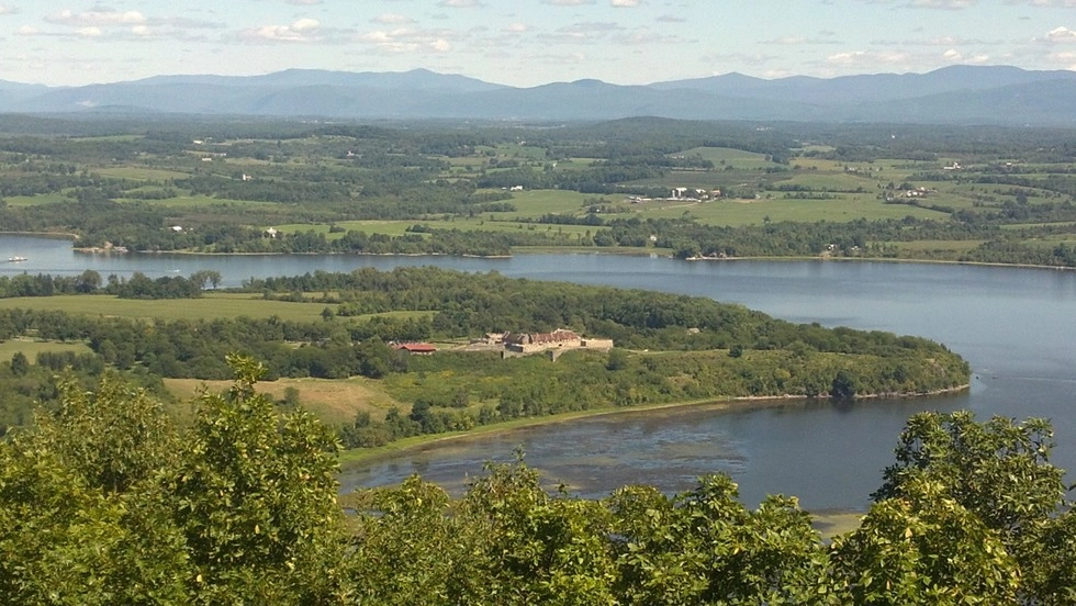
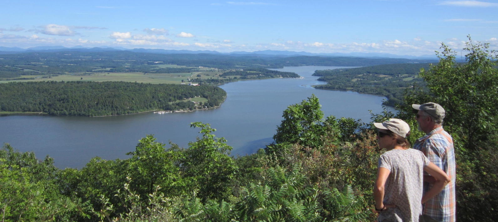
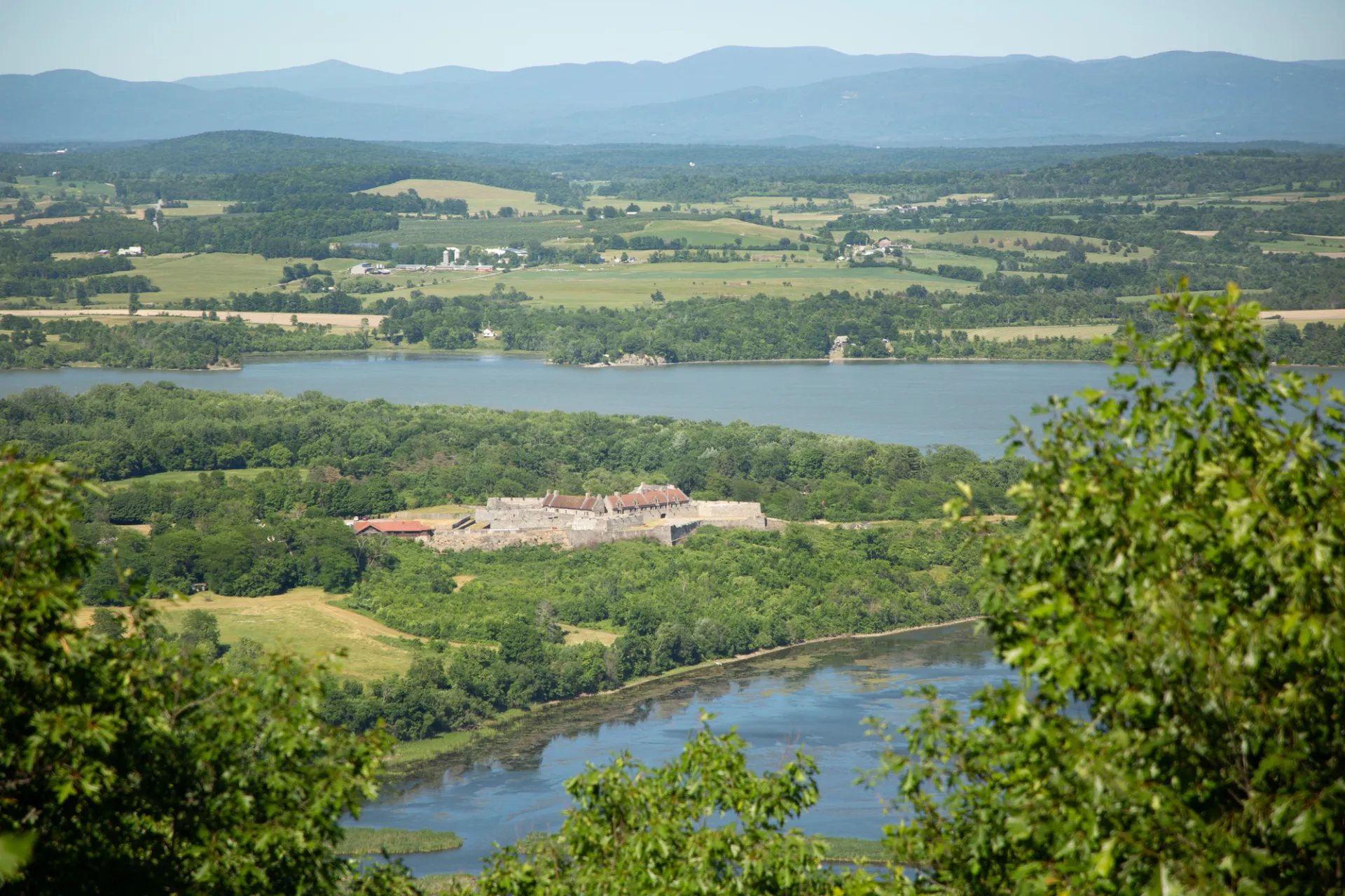
The views from this road are fantastic. The road climbs at a continuous grade as it gains elevation above Lake Champlain. As you approach the top you will see cannons resting along the ridge overlooking Fort Ticonderoga. You can drive this road for a fee, or hike up, which many people choose to do.

Mount Defiance in the winter

While car access is closed in the winter, it is still accessible via human-power. Bring microspikes in case it's icy.

Find more legendary trails in the Lake Champlain Region

Want to find more hikes in the Lake Champlain Region’s open spaces? With the Lake Champlain Region’s extensive trail network, there are endless options to choose from!

How to get there

In Ticonderoga, head south on Route 9N and turn left on Montcalm Street in 0.75 miles, then turn right on Champlain Avenue in 0.6 miles. Follow Champlain Avenue for a short distance, turn left on Defiance Street, and look for the toll road on the right. 

Emergency Information
If you get lost or injured, remain calm and stay put. If you have cell service, call 911 or the DEC Forest Ranger Dispatch, 833-NYS-RANGERS (833-697-7264).
 
Plan ahead and hike smart. Bring a map, extra food, water, and warm clothing, and check the weather before you go. Stay aware of your surroundings and landmarks. If you get turned around, don’t panic—stop, think, and stay where you are. Let someone know your route and expected return time.
Got a sec? Champ has tips 🌊