Moose Mountain Pond Trail

   View trailhead on map
Round Trip
6.9 miles
11.1 kilometers

Elevation Gain
The total amount of vertical ascent (uphill climbing) on a hike. This is cumulative gain, totalling the elevation change of the uphill segments from a round-trip hike.
550 feet
167.6 meters

Route Type
A hiking trail may be classified as a Loop, Out and Back, Point to Point, Bushwhack, or Multi-day Thru Hike, with some destinations having more than one of these ways as a hiking option.
  • Out and Back
Round Trip
6.9 miles
11.1 kilometers

Route Type
A hiking trail may be classified as a Loop, Out and Back, Point to Point, Bushwhack, or Multi-day Thru Hike, with some destinations having more than one of these ways as a hiking option
  • Out and Back
Elevation
The height of the summit or destination, from sea level.
Elevation Gain
The total amount of vertical ascent (uphill climbing) on a hike. This is cumulative gain, totalling the elevation change of the uphill segments from a round-trip hike.
550 feet
167.6 meters

Round Trip
6.9 miles
11.1 kilometers

Route Type
A hiking trail may be classified as a Loop, Out and Back, Point to Point, Bushwhack, or Multi-day Thru Hike, with some destinations having more than one of these ways as a hiking option
  • Out and Back
Elevation
The total amount of vertical ascent (uphill climbing) on a hike. This is cumulative gain, totalling the elevation change of the uphill segments from a round-trip hike.
Elevation Gain
The total amount of vertical ascent (uphill climbing) on a hike. This is cumulative gain, totalling the elevation change of the uphill segments from a round-trip hike.
550 feet
167.6 meters

View all photos
trail highlights
trail features
trail category
Lakes/Ponds
No Summit View
Designated Primative Tent Site
Lean-to
Bridge
Trail Junctions
Half Day

About

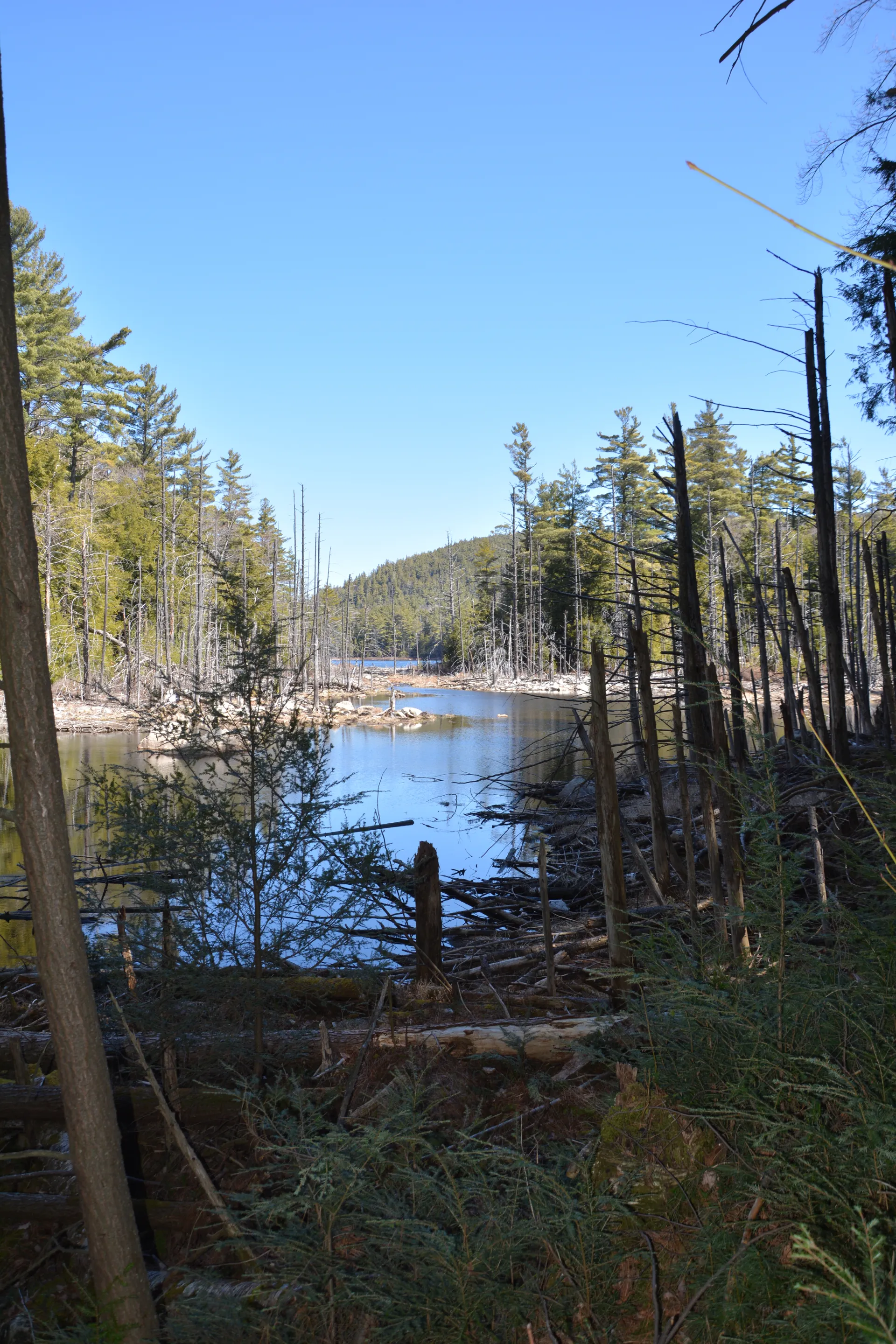
The Moose Mountain Pond trail follows an old logging road along a river with beaver activity and goes by a waterfall. It's a wonderful way to experience the Hammond Pond Wild Forest, with plenty of trails nearby as well.

Key takeaways

  • Distance: 6.9 miles round trip
  • Elevation gain: 550 feet
  • Hike includes trail junctions and a bridge

Hiking to Moose Mountain Pond

The trail travels by a quaint waterfall at around 0.9 miles in. Once at the Bass Lake trail junction at 1.35 miles, go left. There are good views overlooking Berrymill Flow, with campsites. Cross a bridge and continue to the pond, where there is a nice lean-to and overlook to be found. The trail is nicely maintained. There are a few easy ups and downs, but overall a pleasant walk.

Moose Mountain Pond in the winter

This trail and the parking are open in the winter, but aren't heavily trafficked. If you plan to go, expect to break trail, and be prepared for all winter conditions.

Find more legendary trails in the Lake Champlain Region

Does Moose Mountain Pond sound amazing, but a little more than you want to tackle right now? With the Lake Champlain Region’s extensive trail network, we can easily help you find a hike that fits!

How to get there

Take Exit 29 off I-87 and follow Blue Ridge Road east toward North Hudson, then drive north on Route 9. Continue for 2.5 miles, turn right on county Route 4C, then turn right on Ensign Road. Follow Ensign Road for just over 2.5 miles to the trailhead on the right. This trailhead is shared with the Hammond and Bloody Pond trails.

Emergency Information
If you get lost or injured, remain calm and stay put. If you have cell service, call 911 or the DEC Forest Ranger Dispatch, 833-NYS-RANGERS (833-697-7264).
 
Plan ahead and hike smart. Bring a map, extra food, water, and warm clothing, and check the weather before you go. Stay aware of your surroundings and landmarks. If you get turned around, don’t panic—stop, think, and stay where you are. Let someone know your route and expected return time.
Got a sec? Champ has tips 🌊