Cross-Over Trail

   View trailhead on map
Round Trip
2.4 miles
3.9 kilometers

Elevation Gain
The total amount of vertical ascent (uphill climbing) on a hike. This is cumulative gain, totalling the elevation change of the uphill segments from a round-trip hike.
550 feet
167.6 meters

Route Type
A hiking trail may be classified as a Loop, Out and Back, Point to Point, Bushwhack, or Multi-day Thru Hike, with some destinations having more than one of these ways as a hiking option.
  • Out and Back
Round Trip
2.4 miles
3.9 kilometers

Route Type
A hiking trail may be classified as a Loop, Out and Back, Point to Point, Bushwhack, or Multi-day Thru Hike, with some destinations having more than one of these ways as a hiking option
  • Out and Back
Elevation
The height of the summit or destination, from sea level.
Elevation Gain
The total amount of vertical ascent (uphill climbing) on a hike. This is cumulative gain, totalling the elevation change of the uphill segments from a round-trip hike.
550 feet
167.6 meters

Round Trip
2.4 miles
3.9 kilometers

Route Type
A hiking trail may be classified as a Loop, Out and Back, Point to Point, Bushwhack, or Multi-day Thru Hike, with some destinations having more than one of these ways as a hiking option
  • Out and Back
Elevation
The total amount of vertical ascent (uphill climbing) on a hike. This is cumulative gain, totalling the elevation change of the uphill segments from a round-trip hike.
Elevation Gain
The total amount of vertical ascent (uphill climbing) on a hike. This is cumulative gain, totalling the elevation change of the uphill segments from a round-trip hike.
550 feet
167.6 meters

View all photos
trail highlights
trail features
trail category
No Summit View
Trail Junctions
Short

About

This trail heads south from the Gary’s Elbow and the Calamity Trail and is used as a cross-over trail to access both sides of Split Rock Wild Forest.

Key takeaways

  • Distance: 2.4 miles round trip
  • Elevation gain: 550 feet
  • Hike includes trail junctions
  • Based on an out-and-back of just the Cross-Over Trail

Hiking the Cross-Over Trail

The Split Rock Mountain Wild Forest is known for having timber rattlesnakes, which can often be seen sunning themselves at lookouts and along the trail. Negative encounters with humans are not likely as these animals are easily spooked, but it is highly advisable to keep pets on a leash and to never approach or corner a timber rattlesnake. If you or your pet has been bitten, seek medical attention as quickly as possible.

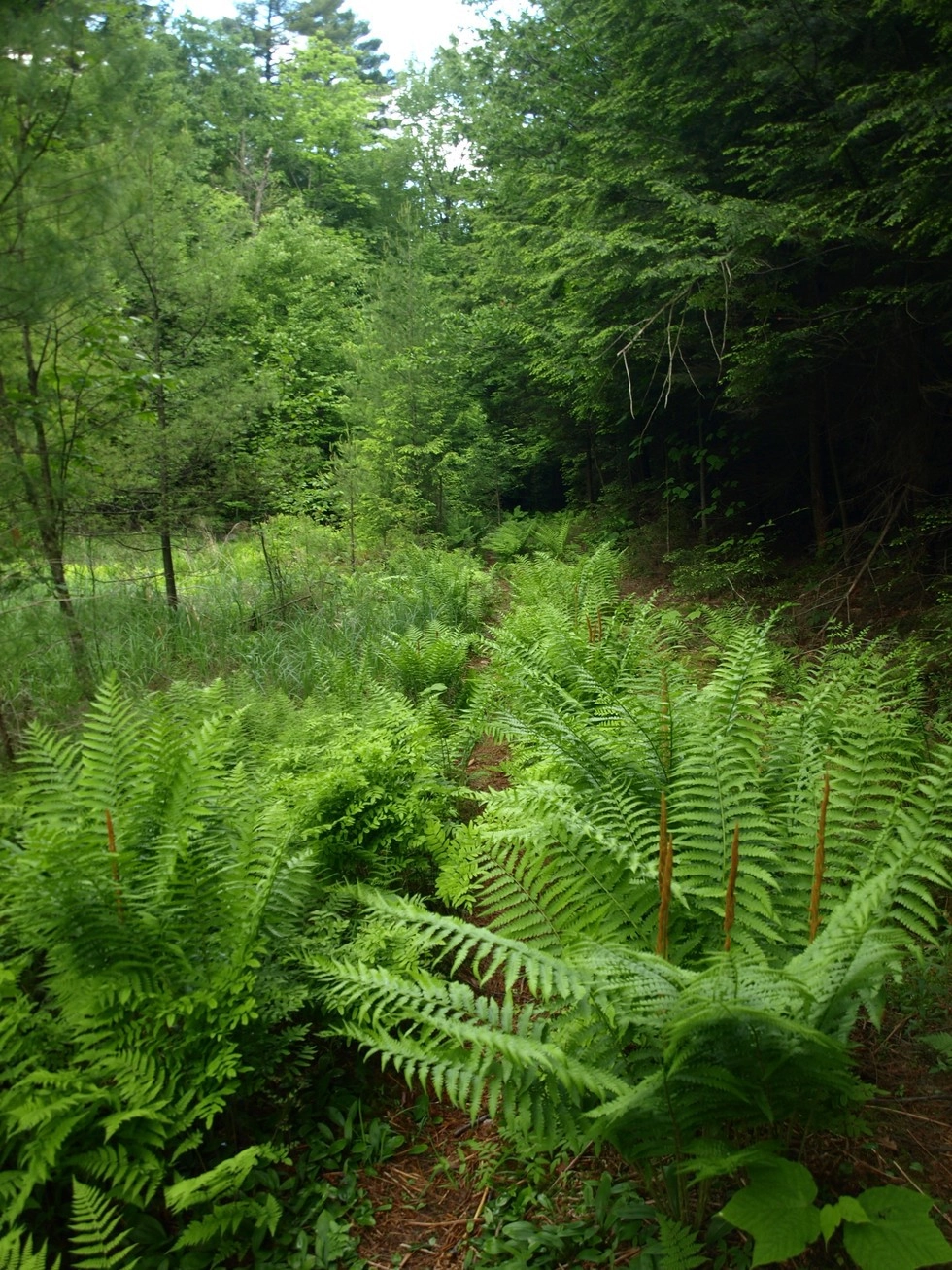
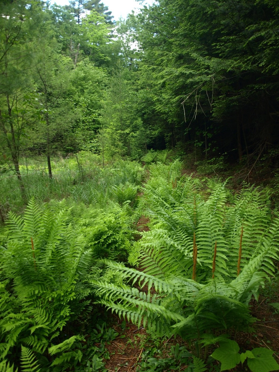
This trail tends to be a bit wet, as it passes through an attractive and damp draw. Several small wetlands dot the route, making it a great birding and photography destination. After roughly 0.3 miles from the parking area, take a left, and follow this trail until you reach an interaction with the Gary's Elbow Trail.

Find more legendary trails in the Lake Champlain Region

Does the Cross-Over Trail sound amazing, but a little more than you want to tackle right now? With the Lake Champlain Region’s extensive trail network, we can easily help you find a hike that fits!

How to get there

From the intersection of Route 9N and Route 22 in Westport, follow Route 22. Continue for 0.5 miles to Lake Shore Road on the right. Follow Lake Shore Road for 4.5 miles to the trailhead on the right. 

Emergency Information
If you get lost or injured, remain calm and stay put. If you have cell service, call 911 or the DEC Forest Ranger Dispatch, 833-NYS-RANGERS (833-697-7264).
 
Plan ahead and hike smart. Bring a map, extra food, water, and warm clothing, and check the weather before you go. Stay aware of your surroundings and landmarks. If you get turned around, don’t panic—stop, think, and stay where you are. Let someone know your route and expected return time.
Additional Info
Map
Got a sec? Champ has tips 🌊