Since its beginning in 2009, the Champlain Area Trails' (CATS) ever-growing trail network has featured relatively short, easy-to-moderate hikes with big payoffs in outstanding views. CATS trails showcase a rich tapestry of scenic woodlands, wildlife habitats, pastoral farmland, historic villages, and wetlands, ponds, rivers, and streams including the Boquet River and Lake Champlain.
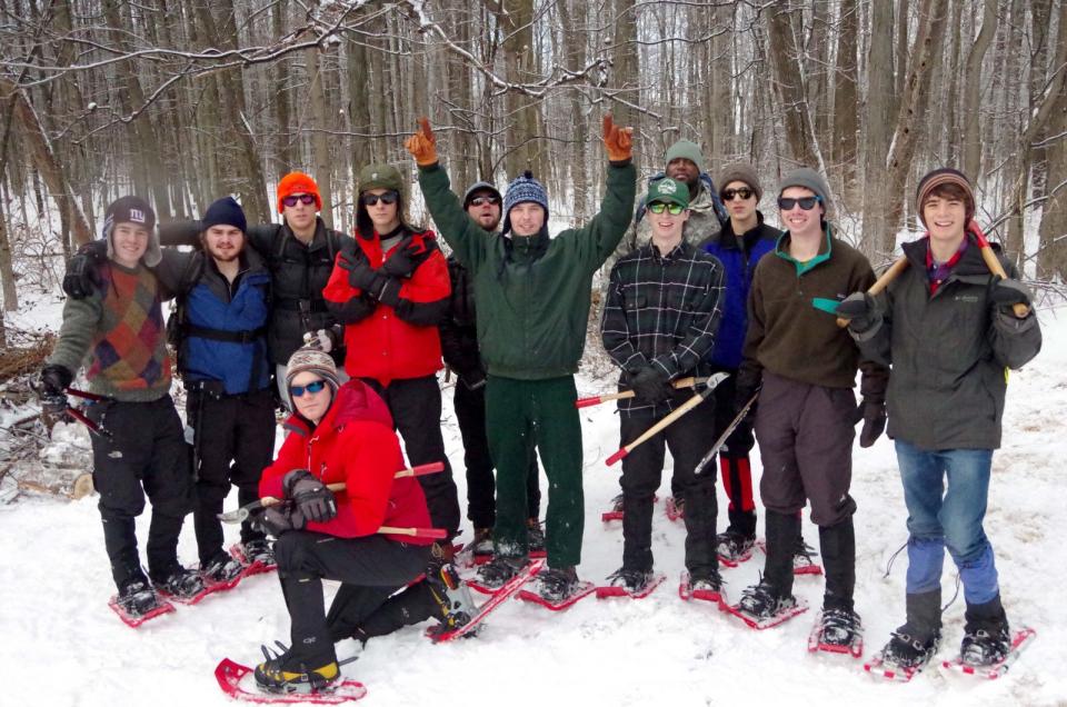
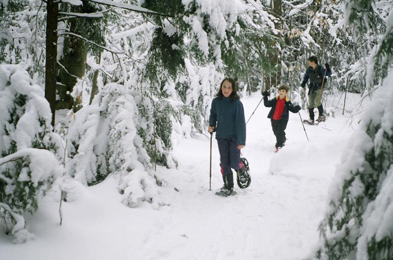
CATS publishes a beautiful free map of the Champlain Valley trails in Essex County and published its first map of Clinton County trails this year. You can get your copy by calling the office at (518) 962-2287. When winter snow comes, many of the trails provide outstanding snowshoeing experiences. Here are some of the best.
Wildway Overlook Trail
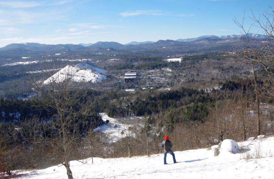
A relatively easy 2-mile round-trip hike going up about 500 feet to an amazing view of Lake Champlain and the forests connecting Split Rock Wild Forest to the Adirondack Mountains.
Directions: 2.5 miles west of the blinking light in Essex at the junction of Route 22 and County Route 12 (Jersey Street), go west on Route 12 for 2.25 miles to a T-intersection. Turn left on Brookfield Road and go 0.7 miles to the trailhead.
Split Rock Wild Forest
For a longer outing, there are 2- to 6-mile trail loops, some going on the top of Split Rock Mountain with views of Lake Champlain and others going to the lakeshore. For an alternative, try hiking the Flying Squirrel Trail across the road from the trailhead.
Directions: The trailhead is on Lakeshore Road, 4.7 miles north of Westport and 5.8 miles south of Essex.
Cheney Mountain Trail
A relatively easy 3-mile round-trip hike going up 500 feet to three overlooks: one looking north up the Champlain Valley, another west toward the High Peaks, and the third featuring a view of the Champlain Bridge and Lake Champlain.

Penfield Pond Trail
An easy 1.5 mile hike to and along a beautiful pond. Make it a loop by returning on Old Ironville Road Trail or simply hike back along the pond to the trailhead.
Directions: From Crown Point, follow the signs west to the Penfield Museum. 0.2 miles east of the museum is Peasley Road. Take that south 0.1 mile to a parking area just before the brook. The trail begins just past the bridge on the right.
DaCy Meadow Farm Trail
An easy 2- to 4-mile hike with views toward Lake Champlain on a system of trails through fields and forests, along a woodland brook, and past a huge old maple tree.
Directions: Trailhead is on Route 9N, 2.4 miles west of Westport and 1.7 miles east of I-87 Exit 31.
Champlain Area Trails (CATS) is a nonprofit organization that creates and maintains hiking and cross-country ski trails in the Champlain Valley, with the goal of linking communities, connecting people with nature, and promoting economic vitality. CATS is also an accredited land trust working to conserve natural communities, farmland, clean water, and scenic vistas. Information on future CATS events and activities is available on the website at champlainareatrails.com and by following CATS on Facebook, Twitter, and Instagram. Please call (518) 962-2287 for more information.
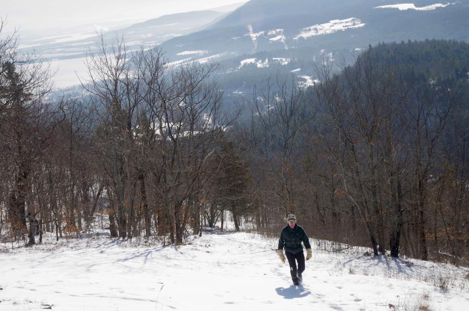
After hiking to a stunning view along one of the CATS trails, head into one of our charming towns for some hot food and a little rest.
The reason you may see media of people not wearing masks on our website is because all footage is from prior years. More than ever we all need to be vigilant about maintaining social distance of 6 feet or more and wearing masks when we cannot social distance.
