Challis Pond Trail

   View trailhead on map
Round Trip
1.3 miles
2.1 kilometers

Elevation Gain
The total amount of vertical ascent (uphill climbing) on a hike. This is cumulative gain, totalling the elevation change of the uphill segments from a round-trip hike.
260 feet
79.2 meters

Route Type
A hiking trail may be classified as a Loop, Out and Back, Point to Point, Bushwhack, or Multi-day Thru Hike, with some destinations having more than one of these ways as a hiking option.
  • Out and Back
Round Trip
1.3 miles
2.1 kilometers

Route Type
A hiking trail may be classified as a Loop, Out and Back, Point to Point, Bushwhack, or Multi-day Thru Hike, with some destinations having more than one of these ways as a hiking option
  • Out and Back
Elevation
The height of the summit or destination, from sea level.
Elevation Gain
The total amount of vertical ascent (uphill climbing) on a hike. This is cumulative gain, totalling the elevation change of the uphill segments from a round-trip hike.
260 feet
79.2 meters

Round Trip
1.3 miles
2.1 kilometers

Route Type
A hiking trail may be classified as a Loop, Out and Back, Point to Point, Bushwhack, or Multi-day Thru Hike, with some destinations having more than one of these ways as a hiking option
  • Out and Back
Elevation
The total amount of vertical ascent (uphill climbing) on a hike. This is cumulative gain, totalling the elevation change of the uphill segments from a round-trip hike.
Elevation Gain
The total amount of vertical ascent (uphill climbing) on a hike. This is cumulative gain, totalling the elevation change of the uphill segments from a round-trip hike.
260 feet
79.2 meters

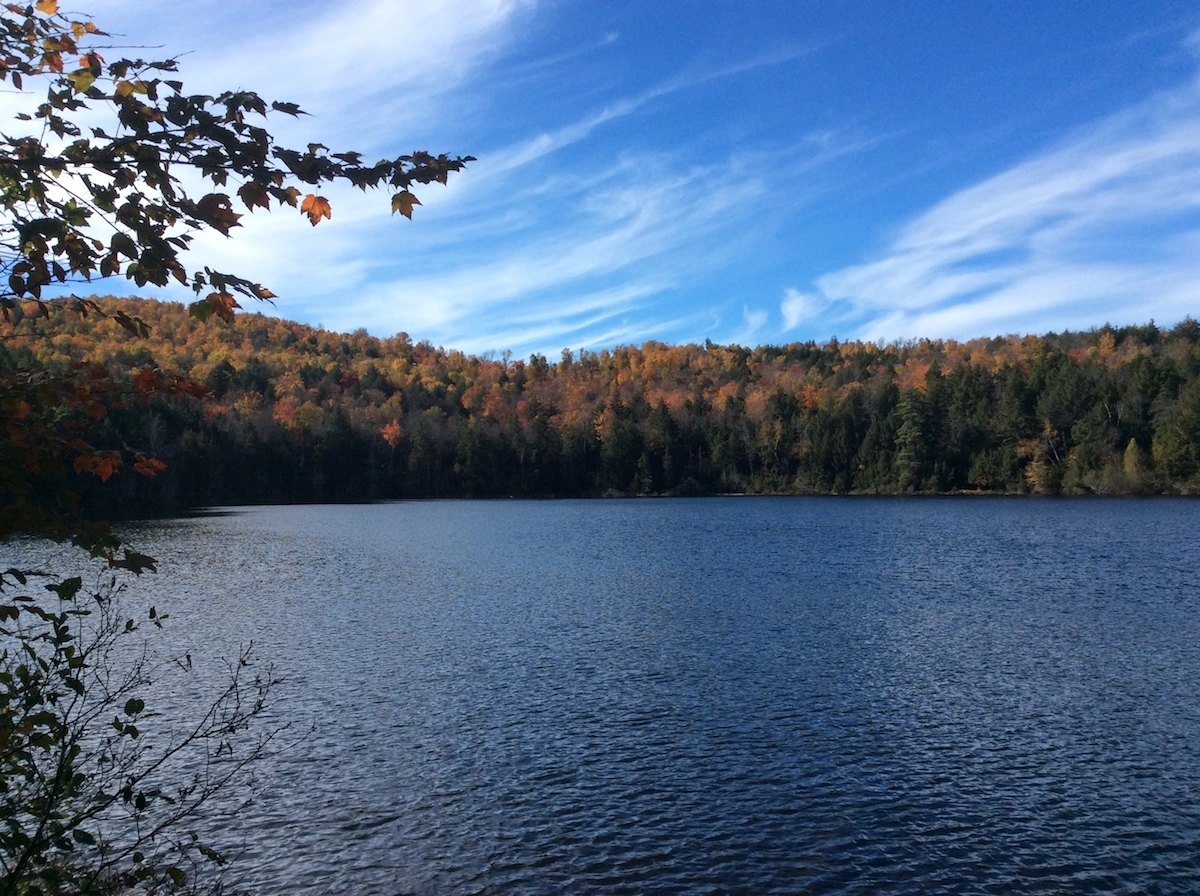
A pond with trees turning colors surrounding it
View all photos
trail highlights
trail features
trail category
Lakes/Ponds
Waterfall
No Summit View
Short

About

There is a slight incline to this hike, but it's a very pretty and relaxing hike. The pond gets its name from an early pioneer named Timothy Challis. 

Key takeaways

  • Distance: 1.3 miles round trip
  • Elevation gain: 260 feet

Hiking Challis Pond

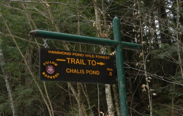
The trail traverses a hemlock and cedar forest. This is a very enjoyable just over half-mile hike to a pond; it's easy to fall in love with. The trail passes a small, attractive waterfall before it reaches the north end of Challis Pond.

Fishing

Challis Pond offers early-season anglers brook trout. Reclaimed in 1992, the Little Tupper Lake strain of brook trout were then stocked in this 15-acre pond. Remember that trout fishing is best when the water temperatures are cool – ice out to mid-May and then again in mid-September until the close of the season. Because this is a reclaimed pond, the use or possession of baitfish is prohibited here.

Paddling

The hardest part of this paddle destination is reaching it, and that isn’t all that difficult with a lightweight boat. The portage to the pond is slightly uphill but the footing is pretty good in reaching this small backcountry jewel. It will be a 0.6 mile carry to the pond. The water is calm and well protected. There is no official launch, but anywhere along the shore can be used.

Find more legendary trails in the Lake Champlain Region

Want to find more hikes in the Lake Champlain Region’s open spaces? With the Lake Champlain Region’s extensive trail network, there are endless options to choose from!

How to get there

The trailhead is shared with the Challis Pond Trail. From Moriah, head west on Ensign Pond Road. The trailhead will be on the left after about 10.0 miles.

Emergency Information
If you get lost or injured, remain calm and stay put. If you have cell service, call 911 or the DEC Forest Ranger Dispatch, 833-NYS-RANGERS (833-697-7264).
 
Plan ahead and hike smart. Bring a map, extra food, water, and warm clothing, and check the weather before you go. Stay aware of your surroundings and landmarks. If you get turned around, don’t panic—stop, think, and stay where you are. Let someone know your route and expected return time.
Got a sec? Champ has tips 🌊