“Your bike is a discovery; your bike is freedom. It doesn’t matter where you are when you’re on the saddle, you’re taken away.” ~ Doug Donaldson
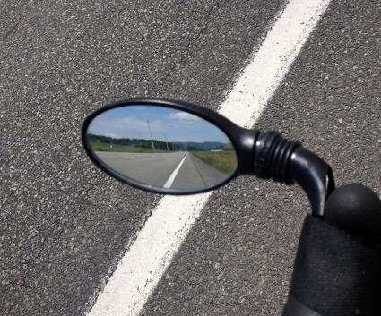
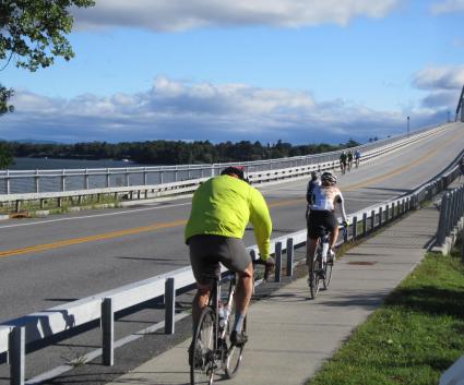
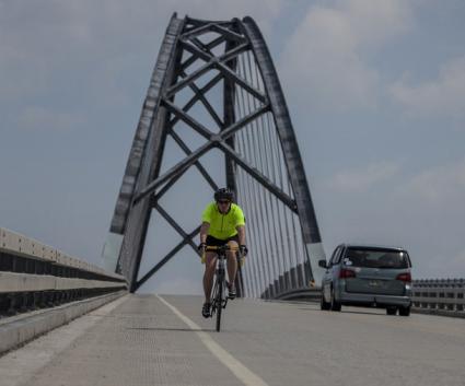
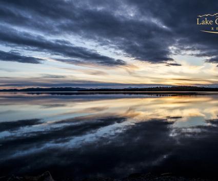
Gravel biking is a cycling discipline that has recently gained immense popularity. It involves riding on unpaved or “gravel” roads, often in rural or remote areas, and offers a unique experience for cyclists who are looking to venture off the beaten path and escape from traffic on busy roads. Fortunately, the Lake Champlain region is full of scenic gravel biking opportunities with plenty of backcountry roads, winding forest trails, and rural pathways to explore. Here are three routes to get you started.
Willsboro Loop

Distance: 25 miles
Parking: 10 Gilliland Lane, Willsboro, NY, 12996 (across from Champlain Valley Senior Community)
Paved: 23.6 miles, 92%
Unpaved: 1.9 miles, 8%
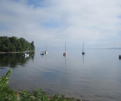
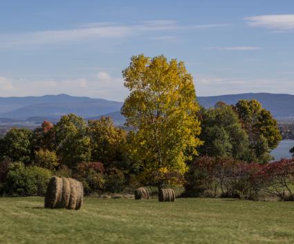
This route combines gravel and paved roads, making it a great introduction to the discipline. The ride starts along the Boquet River and winds through scenic farm fields. The highlight of the route is Clark and Middle Road, which offers mountainous views on the left and undulating farm views on the right with peek-a-boo views of Lake Champlain. To refuel after the ride, head to Turtle Island Cafe, which is located just across the bridge from the starting point.
Directions
Ride with GPS
Cue Sheet:
-Turn left onto North Main Street, NY 22
-Turn right onto County Road 22M (0.4 mi)
-Turn right onto Sunset Dr (0.5 mi)
-Turn right to stay on Sunset Dr (2.8 mi)
-Keep left onto McAulliffe Road (3.1 mi)
-Turn sharp left onto Sunset Dr (3.3 mi)
-Turn left onto Sanders Road (4.0 mi)
-Turn left onto Jersey Street, CR 12 (5.4 mi)
-Turn slight left to stay on Jersey Street, CR 12 (8.2 mi)
-Turn sharp right onto State Highway 9N, NY 22 (8.3 mi)
-Keep left (11 mi)
-Turn left onto Whallons Bay Road, CR 22K (11.1 mi)
-Turn right onto Anger Hill Road (11.2 mi)
-Turn sharp left onto Lake Shore Road, CR 22J (14.4 mi)
-Keep left onto Clark Rd (16.4 mi)
-Continue onto Whallons Bay Road, CR 22K (18.2 mi)
-Turn left onto Middle Road (18.9 mi)
-Turn left onto Main Street, NY 22 (25 mi)
-Continue straight onto Gilliland Land back to the starting point

Paradox Brewery to Ironville Loop

Distance: 32 miles
Parking: Paradox Brewery
Address: 2781 US-9, North Hudson, NY 12855
Paved: 15.8 miles, 49%
Unpaved: 16.3 miles, 51%
This route is a mix of country asphalt and dirt roads. The route has some punchy climbs, but the descents and little car traffic make up for it. Start and end your ride at Paradox Brewery, quench your thirst with craft beer, and satiate your appetite with good eats. Along the ride, there is also an opportunity to check out the Penfield Homestead Museum, an intriguing small museum with displays about 19th century life, the Iron Company, and a special room dedicated to the Civil War.
Directions
Ride with GPS
Cue Sheet:
-Turn right onto Johnson Pond Road, CR 2A (0.9 mi)
-Turn right onto Letsonville Road (7.3 mi)
-Turn left onto Fleming Pond Rod (8.9 mi)
-Turn slightly right onto Fleming Pond Road (10.1 mi)
-Turn left onto Corduroy Road, CR 2 (15.5 mi)
-Turn left onto Whitehead Road (17.0 mi)
-Turn slightly right onto Whitehead Road (17.7 mi)
-Turn left onto Hog Back Road (18.3 mi)
-Continue onto Old Furnace Rod (20.8 mi)
-Turn right onto Johnson Pond Road (24.8 mi)
-Turn left onto US 9 (31.2 mi)

Jay to Elizabethtown Loop

This route courses through babbling brooks, rolling farmland, and the rugged Jay Mountain Wilderness. With over 3,000 feet of elevation gain, there is quite a bit of climbing, so settle in and take your time. There are plenty of places to take a rest along the way. Some notable options are Craigardan, an arts and farm nonprofit, Baxter Mountain Tavern, and multiple trailheads if you fancy stretching your legs and going for a hike. Baxter Mt. is the most approachable hiking option at 2.4 miles roundtrip. Another worthy stop is Keene, an adorable town flanked by the High Peaks and the Ausable River, with plenty of spots available to relax or go shopping. After your ride, grab some food at the Adirondack Mountain Cafe, a delightful breakfast and lunch spot. Plan ahead because it closes at 2 pm. If you end your ride later and are looking for a good dinner spot, look no further than the Ice Jam Inn & Restaurant, reservations are recommended.
Distance: 36.2 miles
Parking: Adirondack Mountain Cafe (there is other parking along Route 9N)
Address: 8 Artos Way, Upper Jay, NY 12987
Paved: 24 mi, 67%
Unpaved: 11.8 mi, 33%
Directions
Ride with GPS
Cue Sheet:
-Turn left onto Upper-Jay Trumbulls Corners Rd (0.2 mi)
-Continue onto Jay Mountain Rd (2.8 mi)
-Continue onto Jay Mountain Rd (10.1 mi)
-Turn right onto Carlott Rd (10.8 mi)
-Turn right to stay on Carlott Rd (11.5 mi)
-Turn right onto Burpee Rd (12.5 mi)
-Slight left onto Blood Hill Rd (13.3 mi)
-Slight right onto Roscoe Rd (15.3 mi)
-Turn right onto Lord Rd (16.6 mi)
-Turn right onto NY-9N N (16.9 mi)
-Turn right onto Hurricane Rd (23.9 mi)
-Turn right to stay on Hurricane Rd (26.7 mi)
-Turn left onto E Hill Rd/Hurricane Rd (27.9 mi)
-Turn right onto NY-73 W/NY-9N N

Ready to cycle this summer? Start planning your trip to the Lake Champlain region today. Find your ideal lodging, plan your legendary adventure, and refuel with farm-fresh food.