
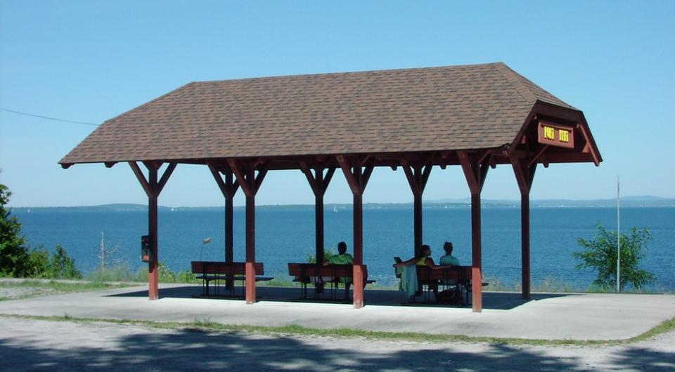
Water's Edge Trail
44.508504, -73.479652
Travel a winding loop along the AuSable River, with views of the Adirondack Mountains and river valleys. Fun fact: Clintonville (which the route passes through) almost became the capital of New York state!
By the numbers
27.3 miles
Cycling
This route has river and mountain views, with some heavier traffic areas with limited shoulders. There are services in Ausable Forks.
Map and turn-by-turn directions on the PDF, and also at the Lake Champlain Bikeways website.


Packages and Promotions
range
Valid Apr. 3 - Apr. 7
Valid Feb. 27 - Apr. 8
Montcalm Liquor Solar Eclipse Discount
10% discount on select items!
promotion
Dining Deals
range
Valid Apr. 3 - Apr. 8
Valid Feb. 21 - Apr. 7
Solar Eclipse Shirts
Small Town Boutique & Dolly & The Bean
Small Town Boutique & Dolly & The Bean
Solar Eclipse Shirts The Small Town Boutique will be offering some SE24 themed shirts for sale during the big event!
promotion
range
Valid Apr. 7
Valid Mar. 21 - Apr. 7
Ticonderoga Area SE24 Business Promotions & Specials
Ticonderoga Area Chamber of Commerce
Ticonderoga Area Chamber of Commerce
Ticonderoga Area Chamber of Commerce Business Promotions and Specials A wide variety of TACC businesses are offering specials and promotions for the Solar Eclipse to take place on Monday, April 8, 2024 including dining and shopping specials and discounts.
promotion
Eclipse ADK 2024, Dining Deals, Shopping Deals
range
Valid Apr. 3 - Apr. 7
Valid Feb. 21 - Apr. 7
SE24 Special Brew at Ledge Hill Brewing
Ledge Hill Brewing Co
Ledge Hill Brewing Co
promotion
range
Valid Apr. 4 - Apr. 7
Valid Mar. 19 - Apr. 7
Prime Eclipse Time Lodging
Park Motor Inn
Park Motor Inn
Enjoy any 3 nights in this beautiful little apartment between April 5th and April 8th. Prime Eclipse time. Call (518)873-2233 for details.
package
Local Deals
range
Valid Apr. 7
Valid Mar. 27 - Apr. 7
Total Eclipse Prix Fixe
The Deer's Head Inn
The Deer's Head Inn
The Deer's Head Inn is offering a special Prix Fixe for the Total Eclipse on April 8 for $60. To Start: Tuna and Swordfish Skewers or Black Trumpet Mushroom Toast Followed by: Squid Ink Pasta Then choose: Burnt Leek Ash Coated Pork Loin or Black Sea...
promotion
Eclipse ADK 2024, Dining Deals
range
Valid Feb. 25 - Feb. 25
Valid Feb. 25 - Nov. 29
Veterans, Military and Government Personnel Discounts
Best Western Ticonderoga Inn & Suites
Best Western Ticonderoga Inn & Suites
Discounts for Veterans, Military and Government Personnel Veterans, Military and Government Personnel enjoy discounts at or below per diem at Best Western(R) Hotels & Resorts throughout North America. Enter your desired destination and dates of travel...
package
Military Discounts